skip to main |
skip to sidebar
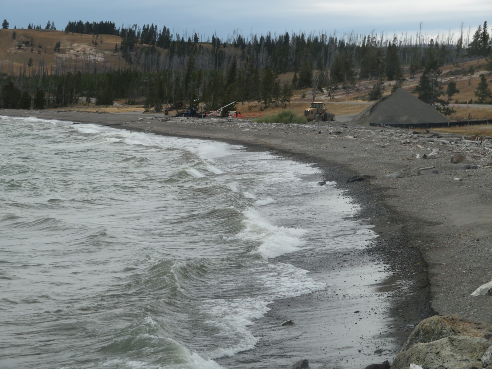
The beaches on Yellowstone Lake have always fascinated me. They are built of mixed sand and gravel and come in a combination of eroding bluffs and assorted barrier beaches. I'm convinced (without much serious investigation) that they may be impacted by medium-term changes in not only absolute lake level but in relative lake level (Yellowstone, particularly here at the north end of the lake, rises and falls with the underlying magma pool).
AERIAL VIEW
Here's a post from more than a decade ago: Yellowstone Lake: July 2007.
Photos here are from late September 2019.
There are beaches up and down Chicago's long shoreline - including some great lakefront parks south of the city, such as at 63rd Street and at Rainbow Beach. Where there isn't beach, there is seawall (though it comes in a variety of forms). But whether beach or seawall, it's almost all public and easily accessible.
AERIAL VIEW
I'm convinced the best way to explore Chicago's beaches is by bicycle along the Lakefront Trail. I spent a few hours going in and out of the city on two different days in early September. On another trip I'll have to explore more of the beaches north of downtown up towards Evanston.
Oak Street Beach, like all of Chicago's beaches, was created from scratch in one of many appropriately-oriented (to north wind and waves) bends along the city's vast linear lake fill. Historically, this was a low shoreline consisting of southward-directed spits on the north side of the mouth of the Chicago River.
Water levels have been high this year and the lake was lapping onto the heavily-used lake shore trail. It would probably be a lot more exciting during a big storm. This is an interesting contrast to my last post from here, back in July 2010, when the lake was much lower.
 This visit was in early September, almost four months ago.
Wind, and therefore waves, blowing down Lake Michigan (on both sides), results in southward sediment transport and the accumulation of sand towards the south end of the lake. Here on the southeastern corner, the sand has built a robust series of dunes (many of them now well back from the advancing shoreline and largely transformed into forested ridges separated by linear wetlands).
These photos don't show it, but I could see the Chicago skyline across the lake (still a long ways away). What you do see in these photos are the stacks of steel mills and generating plants in the middle distance. It's nice that the Indiana Dunes (a State Park) preserve some natural shoreline on a coast that has suffered historically from intense industrial development (and much now in disrepair).
AERIAL VIEW
 Ironically, today's wind was blowing strongly from the south and this leeward shore was welcome relief. I actually modified my route the last couple of days specifically to avoid the strong winds blowing north along Michigan's shoreline. By tomorrow (September 4th), unfortunately, they will be from the north again as I turn the corner and ride into Chicago.
My route west paralleled the shore of Lake Ontario, but was generally far enough inland to miss most of the shoreline itself. One exception was at Sodus Point, where I rode out to the beach and followed the 'coast' for a few miles west before heading south again. These photos were taken back in late August (yes, I am a long way behind).
The north-facing shoreline of Lake Ontario in New York State consists of bluffs and a series of barrier beaches built across the mouths of north trending valleys. I'm not sure whether to call the drowned stream mouths and lagoons behind the barriers estuaries or not - it sort of depends on whether you define estuaries around salt water (this is a freshwater system), or around their physical geomorphology (which works for me).
AERIAL VIEW
I don't know much about this shoreline, other than from a few articles over the years and from what I can infer from the maps and imagery. Sediment transport along the beaches is generally from west to east and this is clearly shown by the assymetric build up of material at jetties. Big wide beaches on the west sides (like here at Sodus Point), and very thin, sketchy barriers on the east sides.
The Great Lakes have been running pretty high and Lake Ontario is no exception. This fall there were news stories about funding efforts to address flooding and erosion at a variety of spots along this coast both east and west of Rochester (including the sediment-starved barrier immediately east of these jetties). Water levels on the Great Lakes vary over cycles of many years as the large watershed is a great integrator of long-term regional hydrologic patterns.
I don't think beaches are pervasive features on lakes in the Adirondacks, but they are found locally. In most cases, the forest comes right down to the water's edge and I guess there's not enough sediment, and not the appropriate wave environment, to maintain beaches. But the presence of coarse-grained igneous rocks (anorthosites) that
erode to form sand-size material and a glacial legacy of scour and
redeposition suggests to me that enough sediment might be available in some places, if the wind and wave conditions are sufficient. On the other hand, a cursory look at Google's imagery suggests that many of the small beaches may have benefited from a human hand (and some dump truck loads of sand).
I spent a night in late August near this one on Long Lake. Which was long enough to appreciate the beautiful evening and subsequent morning, but not enough to actually learn much about the beach or even the local geology.
I did learn that the one thing that all beaches in the Adirondacks have in common are the chairs.
Garrison Cove is tucked into the north end of Bailey Island, between the Cribstone Bridge and Cook's Lobster House. The beach is completely sheltered from anything but local waves, but the open ocean isn't far away.
AERIAL VIEW
I walked this beach after dinner at Cook's way back on August 20th. The next morning, I started riding back to Seattle. Beaches weren't my objective, but I found a few along the way.
A previous visit: Bailey Island: October 2008.
Excuse my long absence, but this year has been complicated and I've been a little distracted.
These photos, from July, are of Meydenbauer Bay Park in Bellevue. This is a brand new beach and a wonderful example of how a beach encourages interaction with the water. It's not what this shoreline looked like historically, and definitely not what it looked like before the forest was cleared, the lake level was dropped, and the city was built, but it's a wonderful addition to the Lake Washington shoreline.
AERIAL VIEW
Over the last several months, I've accumulated a pile of beach photos and with some luck I'll dribble them
out over the next few weeks. I'll probably try to stick more to photos and less to narrative, in part for expediency and in part because many represent very brief visits to places I know very little about - not that that's stopped me from rattling on in the past.
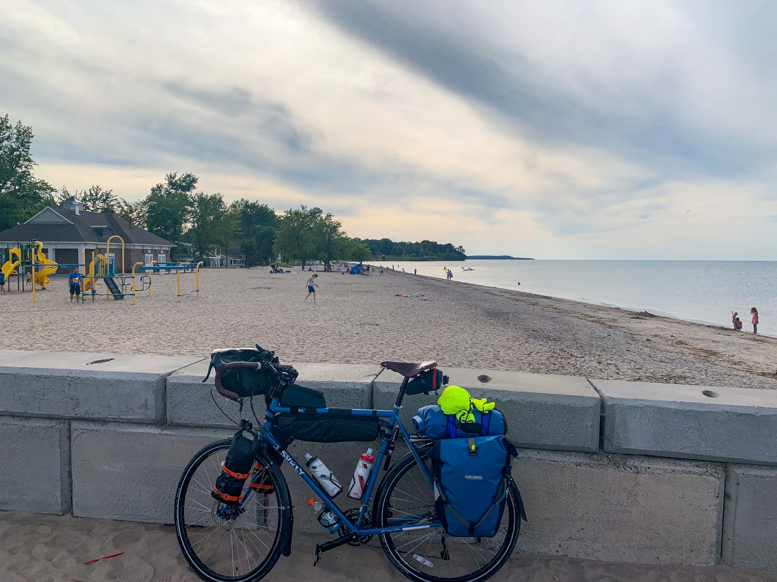
The presence of my bike in the lead photo reflects a pattern that will be repeated in many of the subsequent posts. I seem to have taken very few photos in the last few months that don't have the bike in them.
Another lake, this one in north central Washington, visited during my winding drive back from Montana a couple of weeks ago.
Omak Lake has no outlet. It's a low spot in an ancient channel of the Columbia River that has been subsequently occupied by the advancing ice sheets. While the shoreline shows evidence of fluctuating water levels, I guess there isn't enough precipitation to keep up with evaporation (or subsurface drainage?). Much of the shoreline is bedrock, but there are beaches in a few spots where abundant sand and large enough waves cooperate.
Besides shaping the landscape, the glaciers left erratics picked up elsewhere. The top photo show one along the edge of the lake itself. But the main objective of this little side trip was Balance Rock, perched on a small eroded pedestal high on the slope south of the lake.
The small city of Sandpoint, Idaho, lies at the northwestern end of Lake Pend Oreille, near its outlet to the Pend Oreille River, which in turn flows into the Columbia just north of the Canadian border (although it has to first flow through the powerhouse at Seattle City Light's Boundary Dam in order to generate some of the watts that run my computers and my air conditioner).
The Clark Fork River is the largest inflow to the lake and drains a large portion of western Montana. During the waning stages of the last glaciation, about 15,000 years ago, ice advanced south from Canada into the area that is now the north end of Lake Pend Oreille, blocking the Clark Fork and creating Lake Missoula (Lake Missoula and Camas Prairie). Or actually, many Lake Missoulas, as the ice dam kept breaching, emptying the lake, and multiple large floods swept across this landscape and southwest into Washington (Frenchman Coulee and Potholes Coulee).
None of which has much to do with this post, which simply highlights City Beach in Sandpoint. Historical photos on the web show a lot of saw mills and train tracks, but don't provide much evidence of what this spit-like landform at the mouth of Sand Creek looked like prior to development.
AERIAL VIEW
What was lumber-based industry is now lake-oriented recreation - beaches and boats and hotels. The sand appears to have been imported and piled along the shoreline, where waves have redistributed it to form a series of small beaches that wrap around the point. This movement of sand, and ultimately the shape of the beaches, is influenced by several groin-like structures. (If it turns out that these beaches are completely natural, and I'm completely off base, my apologies, but it's really hard for me to explain them without human intervention).


 This visit was in early September, almost four months ago.


 Ironically, today's wind was blowing strongly from the south and this leeward shore was welcome relief. I actually modified my route the last couple of days specifically to avoid the strong winds blowing north along Michigan's shoreline. By tomorrow (September 4th), unfortunately, they will be from the north again as I turn the corner and ride into Chicago.