Showing posts with label lake ontario. Show all posts

Saturday, December 28, 2019

Sodus Point

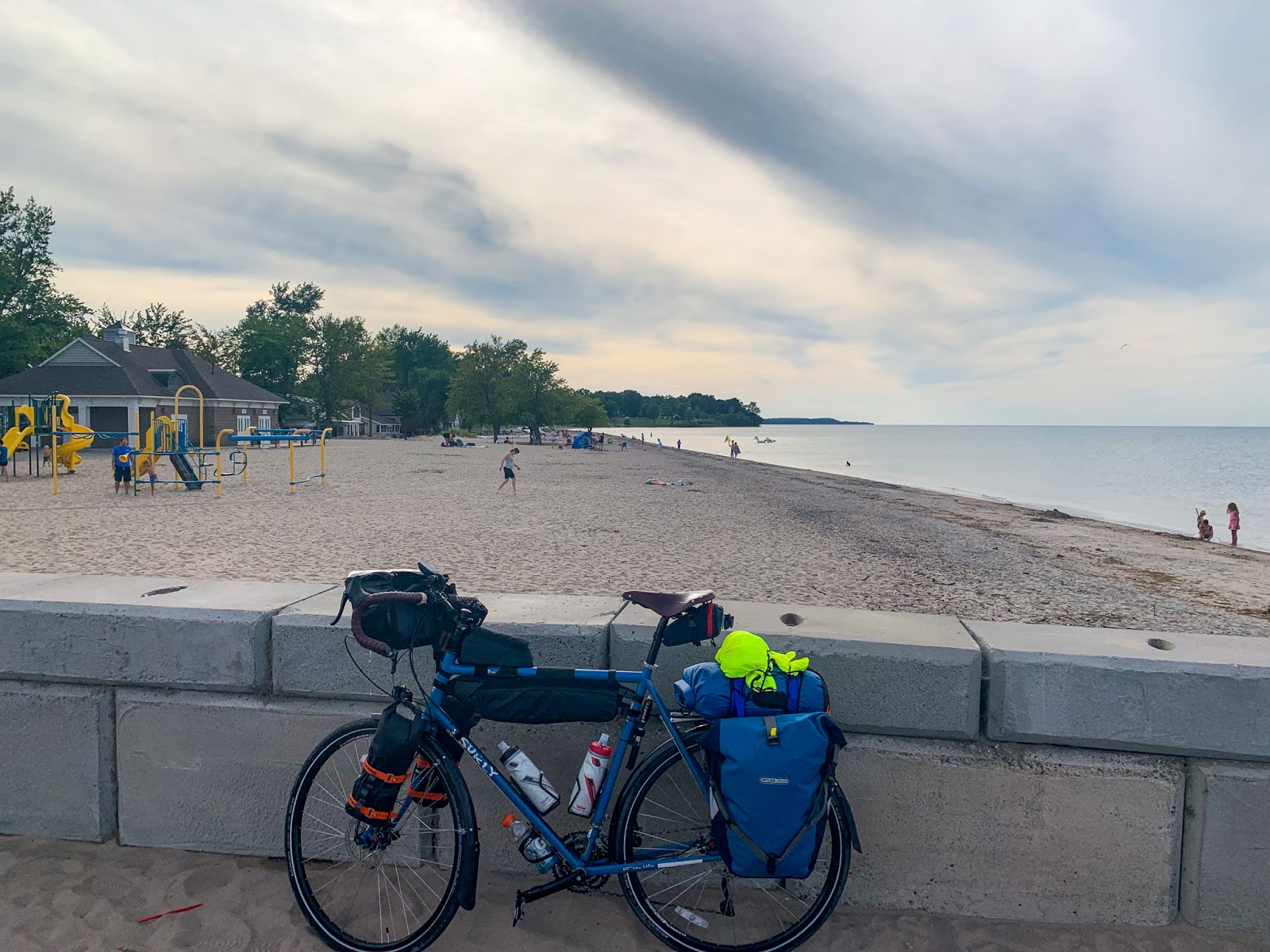
My route west paralleled the shore of Lake Ontario, but was generally far enough inland to miss most of the shoreline itself. One exception was at Sodus Point, where I rode out to the beach and followed the 'coast' for a few miles west before heading south again. These photos were taken back in late August (yes, I am a long way behind).

The north-facing shoreline of Lake Ontario in New York State consists of bluffs and a series of barrier beaches built across the mouths of north trending valleys. I'm not sure whether to call the drowned stream mouths and lagoons behind the barriers estuaries or not - it sort of depends on whether you define estuaries around salt water (this is a freshwater system), or around their physical geomorphology (which works for me).

AERIAL VIEW

I don't know much about this shoreline, other than from a few articles over the years and from what I can infer from the maps and imagery. Sediment transport along the beaches is generally from west to east and this is clearly shown by the assymetric build up of material at jetties. Big wide beaches on the west sides (like here at Sodus Point), and very thin, sketchy barriers on the east sides.

The Great Lakes have been running pretty high and Lake Ontario is no exception. This fall there were news stories about funding efforts to address flooding and erosion at a variety of spots along this coast both east and west of Rochester (including the sediment-starved barrier immediately east of these jetties). Water levels on the Great Lakes vary over cycles of many years as the large watershed is a great integrator of long-term regional hydrologic patterns.

Thursday, July 08, 2010

Sandbanks


Sandbanks Provincial Park, on the northeastern shore of Lake Ontario, includes two large sandy swash-aligned barriers with their accompanying dunes. I had been curious to get here since my 2008 trip to Ontario, when these beaches were just too much to add to one trip. But our route from northern New England to Chicago took us along the northern edge of both Lake Ontario and Lake Erie and Sandbanks was a nice respite from the highway and the muggy, hot weather.

Westcott Beach


Westcott Beach is on the easternmost end of Lake Ontario, just around the corner from Sackets Harbor. This coast is completely new to me, so I don't have any sense whether this sand was brought in or not, although I don't see why this beach couldn't be natural. The aerial photos show plenty of sand in the area and the orientation of this shore to winds coming down the lake is favorable. Of course, in the winter those winds must blast this area, dumping tons of snow and piling slabs of ice up on the shoreline.

Tuesday, June 03, 2008

Bluffers Park


Bluffers Park is typical of the large multi-tentacled lake fills found along the greater Toronto shoreline (Humber Bay Park is another). Built as parks, these artificial shorelines are part jetty, part spit, part landfill. Their outer edges consists of revetments, rock headlands, and pocket beaches. They enclose marinas, lagoons, ponds, and marshes. Some of the wetlands have been retrofitted to filter storm water. These are entirely created features and they in no way maintain the natural geological (or ecological, one assumes) processes that originally characterized these shorelines, but they are an interesting approach to creating waterfront access, enhancing habitat, and preventing the historic erosion that would have threatened a growing metropolis.
Scarborough Bluffs


East of Toronto are several miles of high bluffs, apparently a slice across the front of a thick delta deposited long prior to the last glaciation. The toe of the bluffs has been largely stabilized through revetments (both of construction debris and of more of the elegant dolostone seawalls and revetments so common on the lake), groin fields, broad beach fills, and a large lake fill (Bluffers Park). Longshore drift is to the west, so erosion of these bluffs may have fed the spits and shoals that formed the natural precursors to the now heavily modified Leslie Street Spit and the Ontario Islands off the Toronto waterfront.

Oakville


If you are going to bury a beach under big rock, it makes sense to do it right. In southern Ontario, limestone (dolostone, actually) is plentiful and has the strength and the blocky fabric to make great stackable armor stone. In Puget Sound, we are cursed with an abundance of crumbly marine basalt and our shorelines are the worse for it.

I loved the way the gravel was piled up against the seawall. Coarser sediment tends to do this, even when finer stuff is getting pulled offshore. The flat pebbles are probably made of the same basic stuff as the seawall. I bet the late fall storm waves toss it over the seawall (winter storms just blow across the ice).