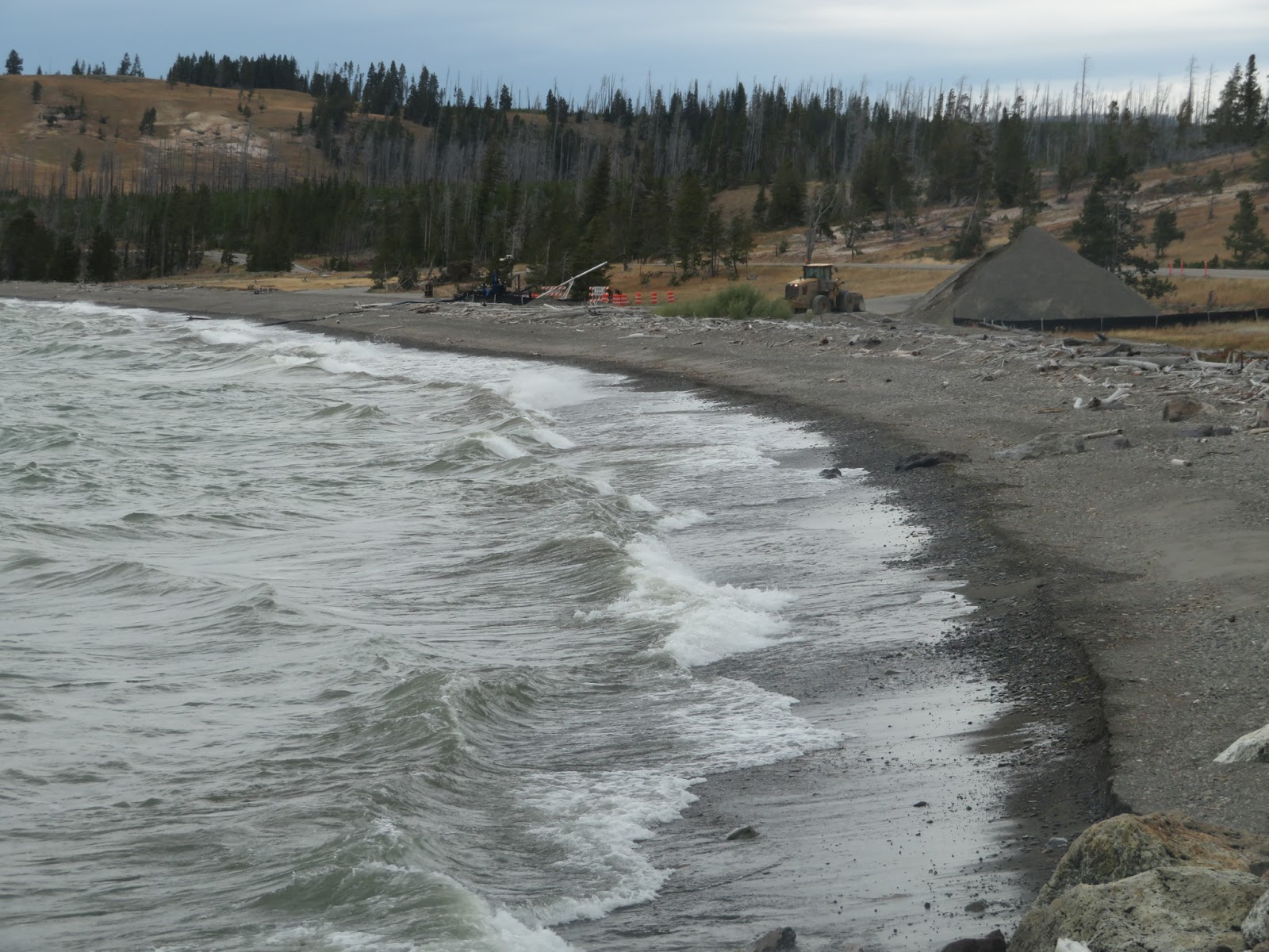

Here's a post from more than a decade ago: Yellowstone Lake: July 2007.
Photos here are from late September 2019.


 Lake DeSmet began as a natural lake, although it has since been enlarged and turned into a reservoir.
 The hills surrounding the lake are Tertiary sedimentary rocks, marked by resistant outcroppings of clinker. Clinker is a red or black rock that results when coal seams burn and bake the overlying sediments (see Callan Bentley's Mountain Beltway Blog at AGU). It's common in the Powder River Basin (because there's so much coal - see hshipman: Black Thunder Mine 2012).
 This beach was at the south end of the lake, next to the dam, and consisted entirely of gravel-sized clinker. There were a series of berms marking higher lake levels. The beach was swash-aligned, oriented pretty much straight into the northwesterly fetch - the winds can get pretty fierce around here.
 Farther west, the red gravel stacked up nicely against the limestone riprap of the dam. And at the boat launch on the southwest corner of the lake, there was a neat little clinker spit built across the mouth of a drowned creek mouth (drowned by the reservoir).


