Showing posts with label gulf of mexico. Show all posts

Saturday, May 26, 2007

Seaside


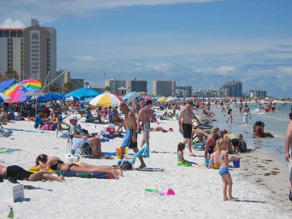
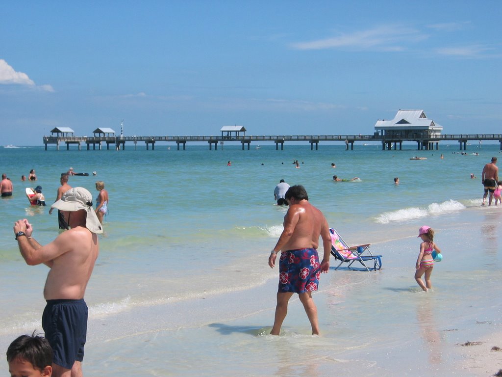
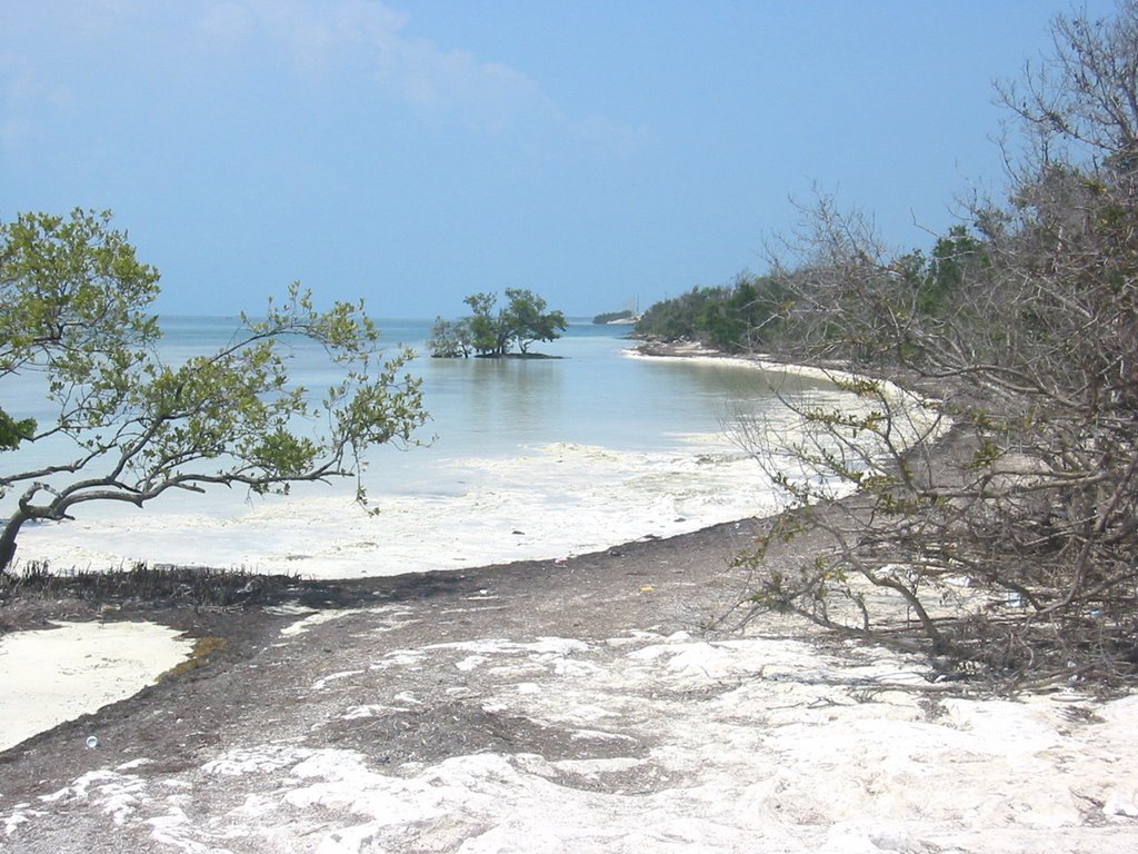
Friday afternoon, I joined throngs of beach goers exiting Mobile, and later, Pensacola, as I worked by way east into the Florida panhandle. It's nice that some stretches of beach are preserved within the Gulf Islands National Seashore, since it provides a contrast to the high rises and surf shops of Gulf Shores and Pensacola Beach. The afternoon light, lack of haze, and perfect weather made the beaches all look like advertisements (some miscellaneous pictures at hshipman).

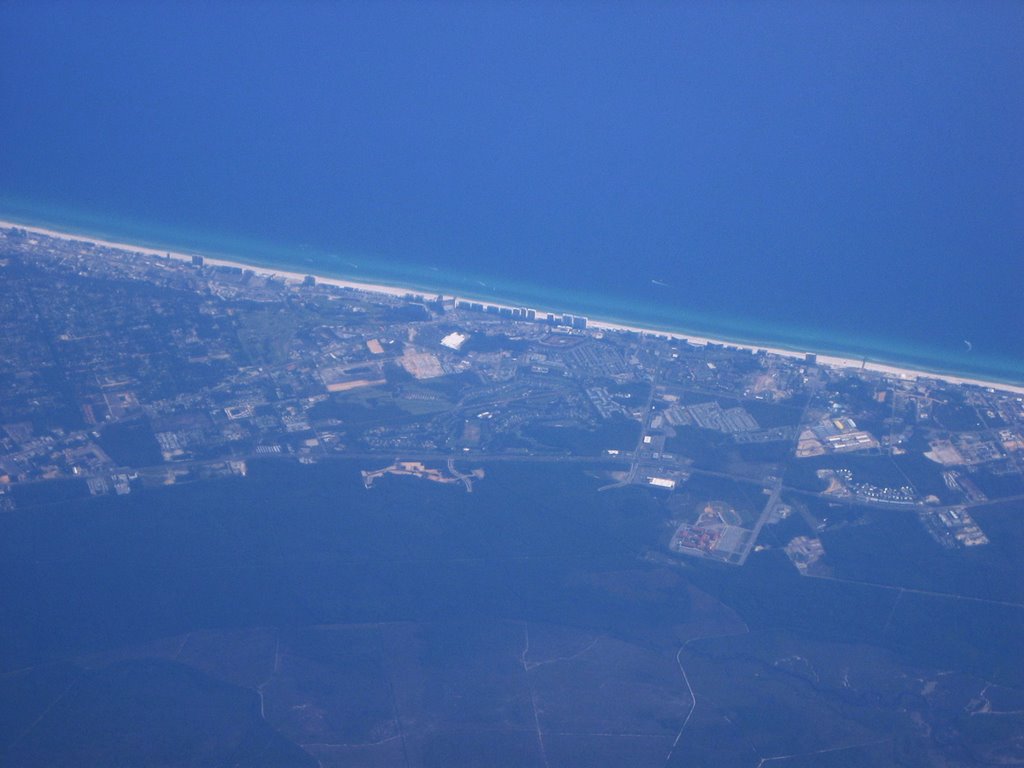
I reached the eastern terminus of my whirlwind tour early last Saturday morning in Seaside, Florida. This was the first of several planned communities built along the coastline between Destin and Panama City in the last couple decades and is often cited as a prime example of new urbanist principles. Or at least some of them. Seaside did convey a wonderful sense of place. It was pleasant to walk around, it was a neighborhood with a nice central business and civic core, and it was environmentally attractive (more pictures). It has suffered from its success (NY Times article) and from some realities of nature - which is what intrigued me.

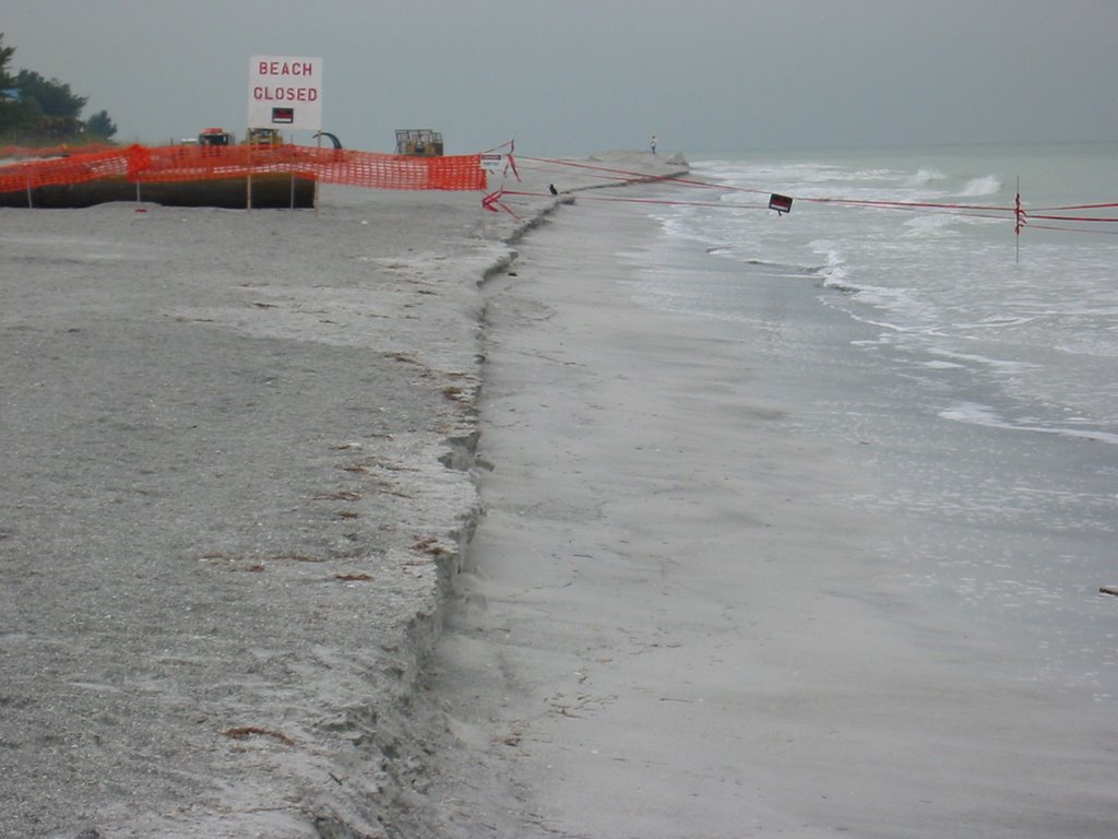
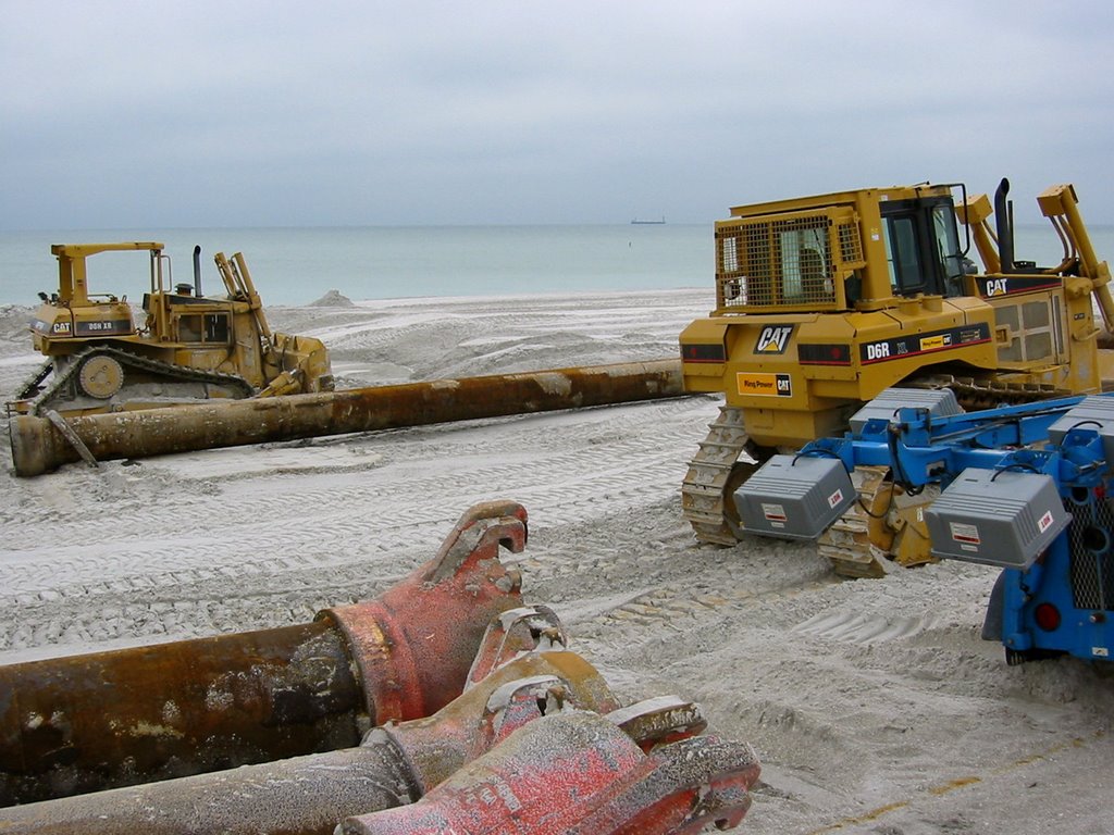
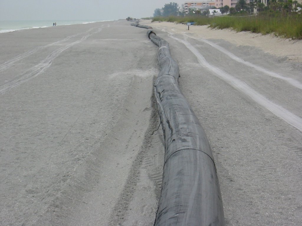
The town has just finished rebuilding its dunes which have been eroded significantly since the town was created. People speak of building environmentally sustainable communities - often focusing on public transportation, stormwater, and energy conservation. In Seaside, much has been made of its being set back from the beach and the preservation of the native dune landscape. But this is an eroding shoreline - the beach and the dunes are moving north and the town will be in the way. Seaside, just like New Orleans, is geologically unsustainable - on a scale of decades, not millenia - even if sea level doesn't start rising faster. We know the talk - build green, use less energy, create walkable neighborhoods - but we sometimes lose the big picture. We need to step a bit farther back (figuratively, in time, and literally, from the beach).

Mobile Bay


The Dauphin Island ferry wasn't running, so I had to drive the long way around through Mobile, but that gave me a chance to check out the beaches inside the bay. Scott Douglass' paper "The Tide Doesn't Go Out Anymore" was based on seawalls in Mobile Bay and I was glad to get a chance to see an example or two. By Puget Sound standards, the tide is insignificant, but many of the environmental issues are the same (though some aren''t).

Dauphin Island


Dauphin Island was far to the east of Katrina's landfall, but it still got hammered - the western portion of the island is a low-lying barrier and parts were overwashed. They were busy building a steep, narrow, artificial dune along the beach when I visited - I suspect it will make any self-respecting Category 4 hurricane pause before leveling the beach the next time. Again, thank goodness for federal flood insurance! These poor folks would never be able to rebuild their homes out here without it. Maybe I'm just missing something?

Pascagoula


Beach Boulevard and the town of Pascagoula are sandwiched between the shipyards, refineries, and the industrial port that have developed around the broad marshy mouth of the estuary. I was struck by the stark geometry of this section of shoreline - straight lines, perched beach, and a twist (curve?) to seawall design I was unfamiliar with. Although the homes behind Beach Boulevard are on rising ground and piles, most of the first tier of homes were gone.

Gautier


My exploration of road ends led me through Ocean Springs to this community west of Pascagoula and this nice little estuarine beach on Mississippi Sound. It was nice to find a place where the landscape was not dominated by either the destruction of Katrina or high-end coastal development.

Biloxi


From Waveland and Bay St. Louis east to Pascagoula, the Mississippi coast was largely a clean slate. Concrete slabs, arrays of concrete piles which had once supported houses and hotels, piers with no decking. The beaches had been rebuilt, either naturally or pumped in from dredges offshore. The coastal roads had been fixed - mostly. And much of the debris had been cleaned up. But most of the rebuilding has still to occur. Not that there is any doubt that it will happen. And it will be bigger and better, I'm sure.


Slidell


Thursday afternoon, I headed east, anxious to visit as much of the central Gulf Coast as I could in the 48 hours I had allowed myself. Slidell is located at the east end of the I-10 bridge across the mouth of Lake Pontchartrain. The shoreline homes and fishing camps, many of which had been located on piles over the water, were leveled by the hurricane. Many of the new subdivisions that surround Slidell were also hit badly - some of these are simply carved out of the coastal marsh - dredge canals into the wetlands and use the dirt to build slightly higher ground on which to build upscale housing developments where everyone has a place to park their boat. Doing this went out of style, or became illegal, in much of the country in the 1970s, but it clearly continues here. Eden Isles north of I-10. Massive new development just south of I-10. Thank goodness for federal flood insurance - someone's got to pay to rebuild these communities every few decades.

Lakeview


The north side of New Orleans, built on some of the lowest land in the area, is drained by a series of canals that connect to Lake Pontchartrain via some big pumps. Katrina overwhelmed these canals and much of the north side flooding was due to failures of levees and flood walls along the 17th Street and London Street Canals.

Lake Pontchartrain


The northern edge of New Orleans is marked by Lake Pontchartrain, which is basically a very large, shallow bay connected to Lake Borgne and the Mississippi Sound east of the city. The worst-case scenario I had seen described (long before Katrina) was a slow-moving hurricane sending a 20+ foot surge into the lake and overtopping the levees. Katrina was different, with the strongest surge farther east and the levee failures occurring as much due to structural and foundation failures in the dikes as the sheer height of the surge. This suggests that the worst-case scenario might have been even worse than thought. I think what struck me about my wanderings in New Orleans was the sobering reality that as bad as Katrina had been, the future may bring worse.

Lower Ninth Ward


Late Wednesday afternoon, Andy gave a few of us a tour of some of the hardest hit parts of the city. The Lower Ninth Ward was flooded when the flood wall on the Industrial Canal failed -- the repaired section is shown here. Many of the affected homes have now been removed, leaving a barren landscape with a few original structures and a few new ones. The homes that are left bear the spray painted graffitti of the rescue workers and the waterlines from September, 2005.

New Orleans


The first of a long series of posts from last week's trip to the Gulf Coast for the Coastal Sediments Conference. The meeting kept me in the city until Thursday, but then I took a couple days on my own to explore the aftermath of Katrina and the shoreline between N.O. and the Florida Panhandle. There are more pictures and travellog on my hshipman blog.

I found a good view of the Mississippi from the 11th floor lobby of the Wyndham Hotel. New Orleans is about 100 miles above the Gulf of Mexico and the river has been effectively locked into a surprisingly narrow channel - the river is much wider farther upstream, although also much shallower. The river is the high point of the local landscape - a narrow canal following a meandering ridge of high ground through a low-lying delta and even lower-lying neighborhoods that are now below sea level and dry only by virtue of dikes and pumps.

The lower Mississippi does something called delta-switching every thousand years or so, when its existing path to the sea becomes too difficult and a better route presents itself. Had Europeans and industrial-age engineering not arrived on the scene, the Mississippi would probably have jumped to the Atchafalaya drainage (farther west) sometime in the past century or so. The forces driving this switch will continue to increase with time, and the only thing keeping the river in New Orleans is the Corps of Engineers, lots of money, and the inertia of human development. Too bad cities and petrochemical plants and oystermen aren't able to move as the landscape beneath their feet moves. In southern Louisiana, phrases like sustainability and adaptability and "out-of-equilibrium" kept nagging me.

Wednesday, June 28, 2006

Passe-a-Grille


I liked Pass-a-Grille, maybe because I enjoy these older beach communities where condos and t-shirt shots don't dominate the landscape. I also like beach towns where there there is continuous public access to the beach; not isolated parks and narrow corridors between hotel towers.

I suppose the presence of intact, early 20th century buildings, is an indication that this area has been spared a direct hit for close to a century. I can't help but wonder if someday I'll be looking at news footage of this barrier wiped clean of structures. I wonder how you rebuild to FEMA standards while maintaining the requirements for historic landmarks?

Clearwater Beach


Clearwater looked to me just like a Florida Beach should look like, with sunshine, crowds, colorful umbrellas, and lots of the large multi-story hurricane deflectors built in the dunes.

Florida Panhandle


It's been thirty years since I've been in Florida, and now two trips in less than six weeks! Our time at the beach has been limited by our family's general abhorrence of hot, muggy weather, but we've managed some short excursions (for the rest of the story, go to hshipman blog).

The flight from DFW to Tampa bypassed a large storm over New Orleans, so I didn't get good views of the coast until we got to Mobile - I was hoping for a good overview of post-Katrina Pass Christian and Biloxi. We flew a few miles north of the coastline from Mobile to Appalachicola area before cutting across the Gulf toward Tampa Bay. The photo may be Destin, though these resort beaches tend to all look the same from 35,000' (or maybe even from sea level?).

The hurricane deflectors (very small in this picture) remind me of lightning rods on the ridges of Pennsylvania barns or the wire spikes that keep seagulls off of waterfront restaurants and pigeons off of public monuments. They have been constructed up and down the southeast coast. Since hurricanes aren't very frequent, authorities let people live in them when they aren't actually being used to protect the nation from tropical storms.

Tuesday, May 16, 2006

Indian Rocks


Our approach to beach nourishment on Puget Sound is really pretty lame. Down here folks know how to do it right. Dredge it, barge it 20 miles, pump it to the beach, repeat. Do it for 9 miles of beach and then a few years later do it again. The project we got to visit is on Sand Key in St. Petersburg, from Clearwater down to Redlington. They weren't pumping today on account of possible bad weather coming in, but we got to see lots of big yellow equipment on the beach and lots of 24" pipe. Just like on Puget Sound, if you build the beach too high or too steep, a scarp develops. Bluff erosion, Florida style. Must be a pain if you're a sea turtle trying to crawl up the beach in the middle of the night with 120 eggs to lay.

More Florida beach photos at my other site (hshipman) - as usual, sometimes it's tough to separate business from personal.

Sunday, May 14, 2006

Florida Keys


Now we're really not in Puget Sound anymore!