skip to main |
skip to sidebar
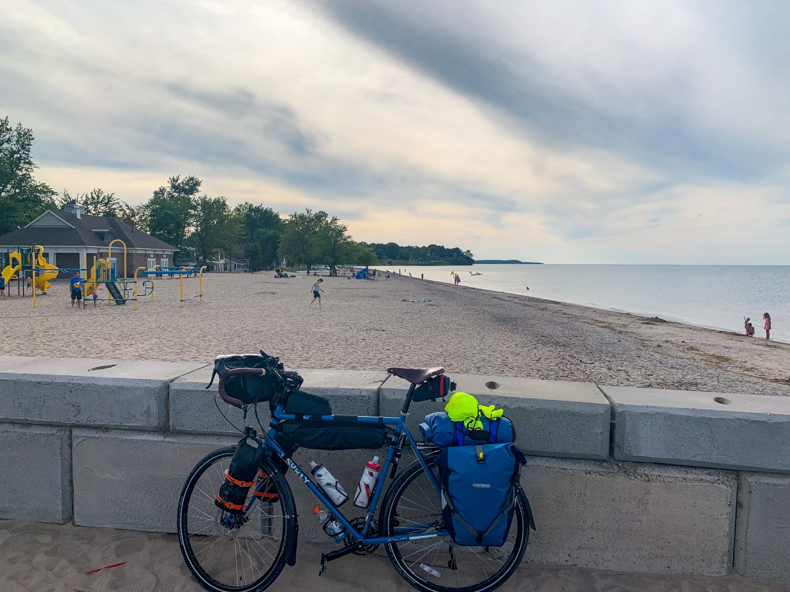
My route west paralleled the shore of Lake Ontario, but was generally far enough inland to miss most of the shoreline itself. One exception was at Sodus Point, where I rode out to the beach and followed the 'coast' for a few miles west before heading south again. These photos were taken back in late August (yes, I am a long way behind).
The north-facing shoreline of Lake Ontario in New York State consists of bluffs and a series of barrier beaches built across the mouths of north trending valleys. I'm not sure whether to call the drowned stream mouths and lagoons behind the barriers estuaries or not - it sort of depends on whether you define estuaries around salt water (this is a freshwater system), or around their physical geomorphology (which works for me).
AERIAL VIEW
I don't know much about this shoreline, other than from a few articles over the years and from what I can infer from the maps and imagery. Sediment transport along the beaches is generally from west to east and this is clearly shown by the assymetric build up of material at jetties. Big wide beaches on the west sides (like here at Sodus Point), and very thin, sketchy barriers on the east sides.
The Great Lakes have been running pretty high and Lake Ontario is no exception. This fall there were news stories about funding efforts to address flooding and erosion at a variety of spots along this coast both east and west of Rochester (including the sediment-starved barrier immediately east of these jetties). Water levels on the Great Lakes vary over cycles of many years as the large watershed is a great integrator of long-term regional hydrologic patterns.
I don't think beaches are pervasive features on lakes in the Adirondacks, but they are found locally. In most cases, the forest comes right down to the water's edge and I guess there's not enough sediment, and not the appropriate wave environment, to maintain beaches. But the presence of coarse-grained igneous rocks (anorthosites) that
erode to form sand-size material and a glacial legacy of scour and
redeposition suggests to me that enough sediment might be available in some places, if the wind and wave conditions are sufficient. On the other hand, a cursory look at Google's imagery suggests that many of the small beaches may have benefited from a human hand (and some dump truck loads of sand).
I spent a night in late August near this one on Long Lake. Which was long enough to appreciate the beautiful evening and subsequent morning, but not enough to actually learn much about the beach or even the local geology.
I did learn that the one thing that all beaches in the Adirondacks have in common are the chairs.


Spuyten Duyvil (remember, New York was settled by the Dutch) refers to the area at the west end of the Harlem River, where it converges with (or diverges from) the Hudson. The original channel looped around, but was later straightened with dynamite, shifting neighborhoods back and forth between Manhattan and the Bronx, sort of the way the meandering early Mississippi brokered land swaps between Mississippi and Arkansas.
The beach with the forest rising behind it is pretty remarkable. It is in Manhattan, albeit a remote corner of Manhattan, tucked in behind the railroad bridge at the north end of Inwood Hill Park. I suppose technically it isn't really a beach as much as it is a sand bar, since there can't be all that much wave action within the river here. If there had been some sort of spit at the mouth of Spuyten Duyvil before the railroad was built, this could be the remnant of something long lost beneath the tracks, but that's pure speculation. Whatever the case, I thought the idea of an isolated beach in the forests of Manhattan was neat.


 Before the trip, I had been reading Phillip Lopate's Waterfront: A Walk around Manhattan, a wonderful essay on history, urban planning, environment, and New York City, and a great introduction to the waterfront of Manhattan. Unfortunately, three days with a family in toe and a poor practical knowledge of the city's geography meant that my shoreline exploration was largely limited to what you could see from a Circle Line Tour around Manhattan.
But even that was fascinating. I could picture the Hudson River side, having grown up with pictures of Cunard liners on the walls at home, but I had no idea what to expect of the Harlem River or even the East River bridges. More of my personal observations can be found across the way at hshipman, but I will include here a few shorelines, less for their geologic insight and more as an introduction to New York City and an exciting urban waterfront.
Brooklyn, for the geographically naive, is on Long Island, and is separated from Manhattan by the East River, a tidal strait connecting New York Harbor with Long Island Sound. Its industrial shoreline is gradually giving way to high end residential development and a restored waterfront - the wharves turning into parks and promenades and even a pocket beach (created or an accident?) under the Manhattan Bridge.