Wednesday, February 28, 2018

Point San Pablo


Point San Pablo is a little cut off from the rest of Richmond by rail lines, highways, and the big Chevron refinery, but some of it is accessible, including Point Molate Beach Park (no photos this trip). The end of the Point and the site of the old Red Rock warehouse on the north side are normally off limits, but we were able to visit them on last Saturday's field trip. 

AERIAL VIEW


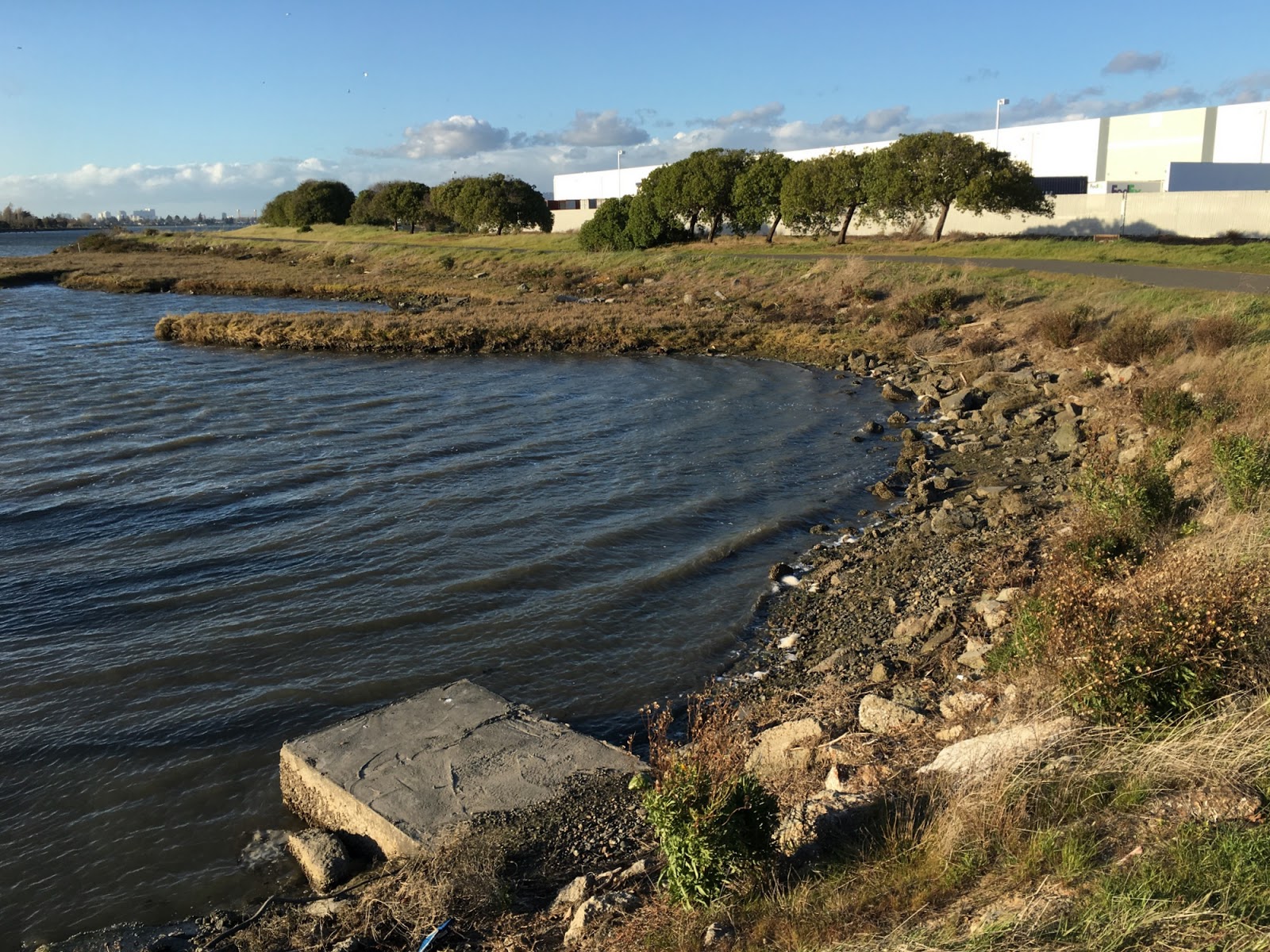
The restoration work done to date involves the removal of the old overwater structure along with hundreds of creosote piles (BayNature). Eelgrass is being planted offshore and there's interest in improving other subtidal habitats as well. There are also plans to remove another large dilapidated structure at the tip of the Point.


Other than cleaning out much of the old debris, little has been done to restore the shoreline itself, which consists of a rubbly gravel beach backed by an eroding bank of fill and concrete slabs. It appears that much of the upland behind the beach may be fill, extending bayward from the old rocky bluff (where I suspect there may once have been a narrow beach). Carving back into that fill might provide opportunities for riparian vegetation, removal of more debris, and the creation of a more natural upper intertidal and backshore. One might even be able to create more beach - a future public amenity as well as an environmental one.

These last couple of pictures are taken on the south side of the Point, where there's a nice pocket beach and a lagoon (created by an old rail line) with a view of downtown San Francisco beyond the Richmond Bridge.


Monday, February 26, 2018

San Leandro Bay


My last post was three months ago - a fair (and sad) indication of the amount of time I've spent on the shore recently. Ironically, that previous post was from Oakland Beach, in Warwick, Rhode Island.

Ironic, because this post is also from Oakland, the one in California. This Oakland is not known for its beaches. Perhaps it was once known for its marshes, but those are now few and far between. They were either dredged to create channels or buried under the dredged material in order to create dry land for runways, highways, warehouses, and naval bases.

Arrowhead Marsh (San Francisco and Mount Tamalpais in the distance)
It was a short walk from the hotel to the MLK Regional Shoreline Park and Arrowhead Marsh, which are located on the southeastern end of San Leandro Bay, somewhere in between Oracle Arena and the Oakland Airport Rental Car facility.

AERIAL VIEW

This is not a beach, just a desperate effort to get back on the blog (although there will be a whole bunch of real beaches added in the next few days). There was a cold wind blowing straight down the dead end channel and I couldn't help think that a few wheelbarrows of gravel might make a pretty nice beach in these little coves. Unfortunately, in filled areas like this, the only gravel-size material is broken chunks of concrete. I wonder if there were originally some gravel beaches in parts of the East Bay, but back nearer the hills at the mouths of the small streams?


The workshop was on Living Shorelines, a term that's come to mean everything from engineered marshes to eelgrass restoration (and gravel beaches, too, according to those folks from up on Puget Sound), but that basically captures the idea of trying to use nature-based approaches to maintain eroding shorelines.