skip to main |
skip to sidebar
Devil's Lake lies in a steep sided gorge that cuts through the southern Baraboo Range about an hour north of Madison. The billion and a half-year old Baraboo Quartzite forms steep cliffs along the edge of the valley and erosion has left an assortment of stones standing alone or leaning against each other. The stones that didn't remain on top are piled in a talus slope along the base of the slopes.
AERIAL VIEW
The lake itself is formed between two moraines - left at the western edge of the ice during the last ice age. We're right at the eastern edge of the driftless area, which extends west into Minnesota. Given it's shape and location, I had sort of expected that the gorge was a glacial margin outwash channel, but apparently it's much older and may mark an earlier route of the Wisconsin River. The quartzite is awfully resistant stuff and it makes sense that this gorge was not formed easily or quickly.
I assume the reddish sand beaches are derived from these same rocks. This was one of those sites where you could see primary ripple marks on the quartzite blocks, and then find modern ripples of the same sand on the edge of the lake.
Much of the southeastern shore of Lake Michigan, from Wisconsin south through Chicago towards the Indiana Dunes at the south end of the Lake, consists of eroding bluffs. But there are a number of locations where the bluff is absent, either because a lower river valley intersects the shore or because the beaches have accreted out into the lake.
AERIAL VIEW
I don't know the explanation for Wind Point, just north of Racine, but it extends out into the lake. It's low, but doesn't appear depositional. I suspect there may be bedrock control - a more resistant layer at modern lake level - but would need to do considerably more homework for this to be anything more than speculation.
Sediment transport is pretty strongly from north to south on this shore of the lake, reflecting the strong north wave action (winds and long fetch). The presence of both sand and gravel, like on Puget Sound, is mainly a function of glacial sediment sources.
These small trees being eroded away just south of the lighthouse tell a story, but it's not a story I learned during my short visit!
A couple of days after getting back to Seattle, I was throwing out some old stuff in my cubicle and ran across a 2" thick report I had obtained in the mid-1990s that described in detail the geology and engineering of the Lake Michigan shoreline of Milwaukee County. Aerial photos show that this beach was constructed in 1988 (Photos from Southeastern Wisconsin Regional Planning Commission, 1989).
Like other Great Lakes cities, much of Milwaukee's shoreline was built out into the lake with fill, the better to create marinas, public facilities, and recreational space. As a result, beaches tend to be highly engineered pocket beaches, often shaped by groins, adjacent jetties, and offshore breakwaters. McKinley Beach is part of a segmented headland breakwater system - there's a longer beach a short distance farther north (see aerial below).
AERIAL VIEW
The gap in the riprap constrains the direction that waves can approach the beach and the breakwater prevents sand and gravel from escaping the confined pocket. Regardless of the direction with which waves approach (the big waves come mainly from the north on Lake Michigan), they pass through the narrow opening and break in regular curves on the crescent-shaped beach.
My brief search for beaches turned up this small pocket in Olin Park, on Lake Monona southwest of downtown Madison. There's a nice view back at the State Capitol and Monona Terrace (hshipman).
AERIAL VIEW
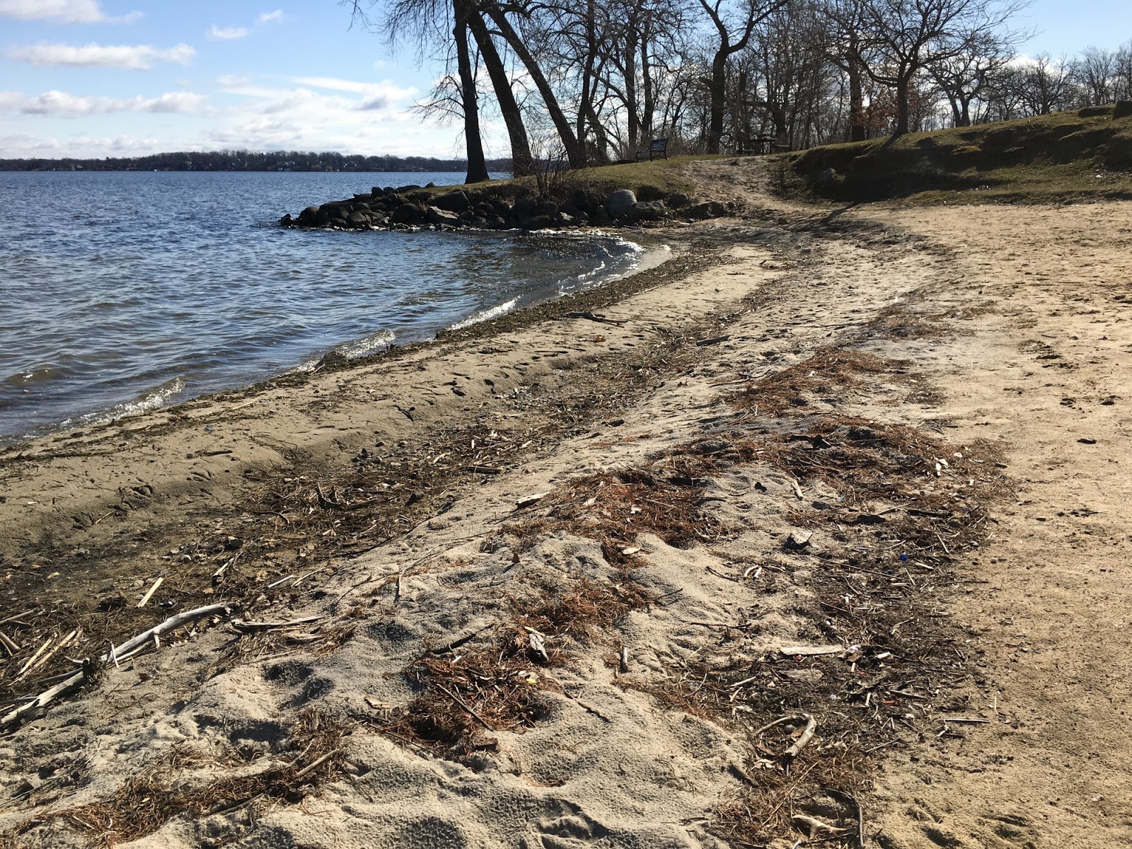
I don't know enough about these midwestern lakes to understand much about the formation of beaches and their distribution. Things that are always important are water levels (I think this lake is controlled pretty tightly), along with wind and wave conditions, particularly during larger storms. But there are also local factors like ice cover in the winter, the geology of the shoreline, and the original riparian forest. The history of a site is also critical - sometimes fill has been placed to extend the shoreline farther out into the lake. Small beaches are often created from scratch or are nourished. This one has formed in a small cove bracketed by riprapped shorelines on both sides.
Although probably not relevant to the beach itself, this area was originally the site of many hundreds of native american mounds in various sizes and shapes. It's so easy to overlook the prehistory of these places - particularly where so much of it has been obliterated. And in the midwest, we often forget that the aboriginal cultures first encountered by Europeans were in themselves hugely transformed from the extensive Mississippian Culture that existed hundreds of years earlier.
After a weekend in Madison, I thought some sort of post was in order, although the gray weather, the limited time to explore the shoreline, and the paucity of actual beaches didn't exactly lend itself to exciting content.
Downtown Madison is located on an isthmus between Lake Mendota on the north (this post) and Lake Monona on the south (next post).
AERIAL VIEW
These first few photos are from the University of Wisconsin, showing the UW Limnology Lab and the Memorial Union Terrace (being remodeled).
These last two photos are from Burrows Park, in Maple Bluff, on the east end of the lake. I suppose once upon a time the lake's shorelines were heavily forested, but as the trees came down and the shoreline developed, erosion became a problem, and much of the lake is probably hardened.
I guess this year's mild winter led to the lake only being frozen for a couple of months - and it was fully thawed by our late March visit.