skip to main |
skip to sidebar


The northeastern tip of Salt Spring Island, along Trincomali Channel, consists mainly of sandstone ledges and boulders derived from them, but there are also beaches where the bedrock allows and where sediment is available. The aerial image shows how the rocky points trap pocket beaches and barriers across the mouths of the small valleys.
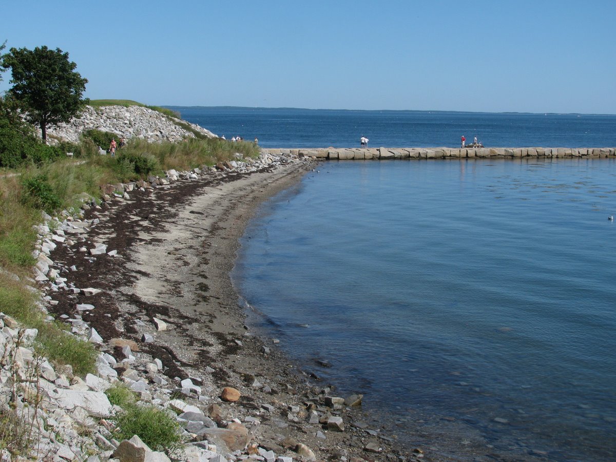
On Tuesday, I paddled around from Southey Point. On Thursday, I came back by foot to explore a couple of these small beaches. They are composed of sandstone gravel and pebbles and a high proportion of broken shell. Some of the shell is washed up from the lower beach, but some of it is eroded out of the bank, which either due to waves or previous inhabitants, is thickly layered with clam shells. The sandstone makes beautiful skipping stones, the best of which are always concentrated high on the berm. It has something to do with their shape and preferential transport by the swash.
The largest beach shelters a high salt marsh and tiny estuary, with the small stream trickling out where the spit pushes it against the bank on the western edge. Occasional high tides have pushed a wedge of gravel into the estuary, forming a small flood-tide delta. The stream drains out across a broad intertidal delta-fan, with lots of evidence that the stream and the wave-built gravel bars shift around. This is a big pile of sediment in a place without an obvious source of new sediment, except for the clam shell. I suspect the stream and the waves have been pushing the stuff back and forth on the beach for millenia - the stream carries it down during low tides (alluvial fan), the waves carry it back up during storms (swash bars).

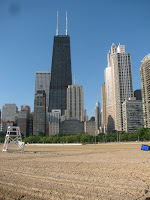


 Once upon a time, sand worked its way southward down the west side of Lake Michigan, building out into the lake in a series of spits at the mouth of the Chicago River. But one thing led to another and the beaches were gradually (or not so gradually) left behind as the city moved into the lake.
Then David Burnham came along and saw the potential for a hugely public, albeit hugely artificial, shoreline. Like many other Great Lakes cities, lake fill was an obvious solution, but in Chicago they seemed to have done it better and bigger than others. The result is miles of public park along the lake front, trimmed with stepped concrete walls, artificial beaches, marinas, and park space. The wind and wave regime hasn't changed appreciably since the city arrived, so sand placed along the shore would move southward rapidly were it not configured with jetties and landfill into a series of north facing pocket beaches. Some are isolated, some segmented by groins.
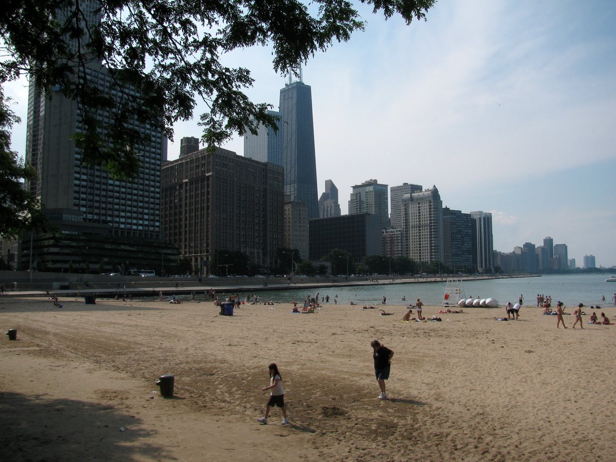
Oak Street Beach, at the north end of Michigan Avenue, fits into a corner in the lake fill - kept in place by Lake Shore Drive as it curves east around the northern part of downtown. The straight seawall north of Oak Street precludes a beach, so it sort of pretends to be one. Despite what could easily have been viewed as ugly, I thought it was actually pretty neat and it certainly got its share of use, at least later in the day (these shots are mainly early in the morning). I suppose it was underwater in the mid-1980s when lake levels were high.


The northern shore of lake Erie (Google Maps) is punctuated by three elegant landforms. The location of each may be determined by glacial features like moraines, but the shape of each is all about wind and waves and moving sediment. There are good bathymetric maps and geologic explanations of Lake Erie at NOAA's NGDC.
Long Point is a spit, neither a simple nor a small one.
Point aux Pins (Rondeau Provincial Park) is an arcuate promontory that might be categorized as a recurved or cuspate spit. Its southeastern shore is composed of a beautiful series of accreted beach ridges, while its western shore is somewhat more tenuous. There is a big offset in the shoreline at the jetties at Erieau and the map on the wall at the Eau Buoy Cafe showed that in 1868 the natural opening was much larger and located pretty much where the town is today.
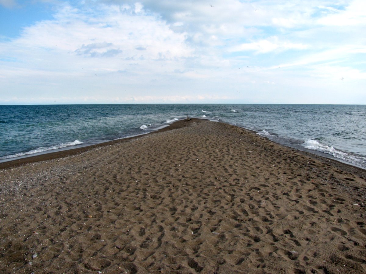
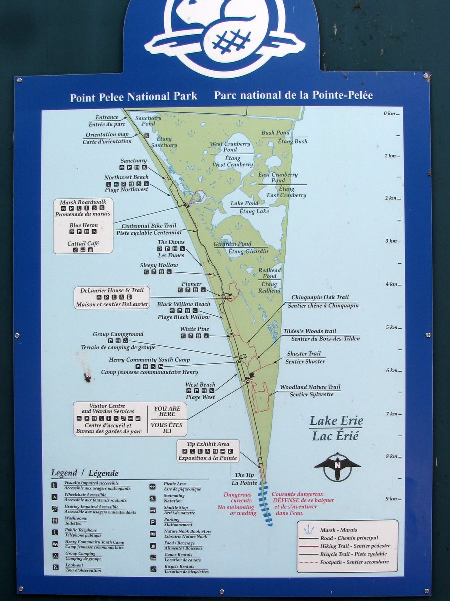
Point Pelee, where all of the these photos are from, is a large cuspate foreland, tapering to a slender point. It has lost ground, or at least changed shape, over time, making the riprap on the west side of the tip seem both unfortunate and sort of futile. The sinuous tip vanished southward under the waves, tempting me to wade out farther, but the biting flies argued against it.
Point Pelee is the southernmost point in mainland Canada. The country's true southernmost point is a very similar looking spit at the southern tip of Pelee Island, maybe 25 km south of here.