


The northern shore of lake Erie (Google Maps) is punctuated by three elegant landforms. The location of each may be determined by glacial features like moraines, but the shape of each is all about wind and waves and moving sediment. There are good bathymetric maps and geologic explanations of Lake Erie at NOAA's NGDC.
Long Point is a spit, neither a simple nor a small one.
Point aux Pins (Rondeau Provincial Park) is an arcuate promontory that might be categorized as a recurved or cuspate spit. Its southeastern shore is composed of a beautiful series of accreted beach ridges, while its western shore is somewhat more tenuous. There is a big offset in the shoreline at the jetties at Erieau and the map on the wall at the Eau Buoy Cafe showed that in 1868 the natural opening was much larger and located pretty much where the town is today.
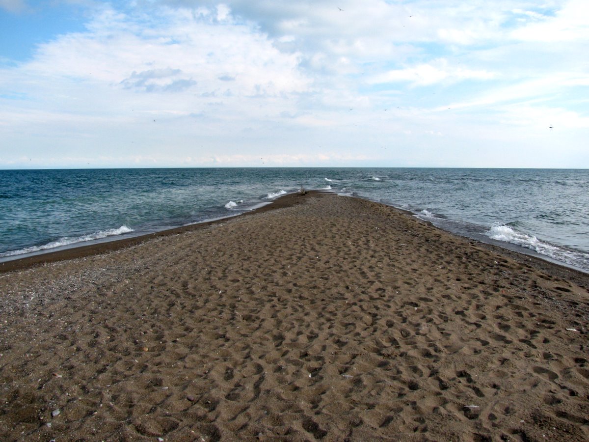
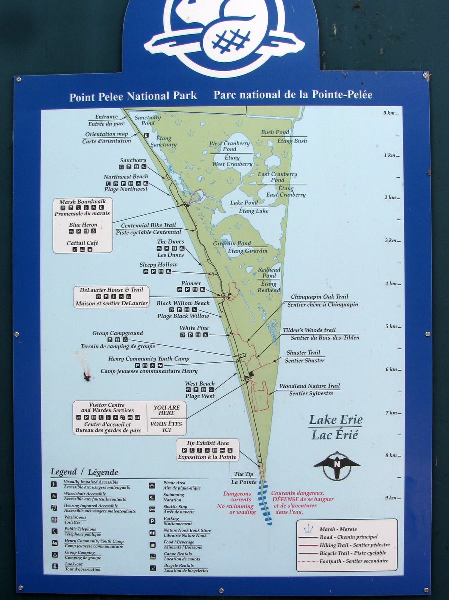
Point Pelee, where all of the these photos are from, is a large cuspate foreland, tapering to a slender point. It has lost ground, or at least changed shape, over time, making the riprap on the west side of the tip seem both unfortunate and sort of futile. The sinuous tip vanished southward under the waves, tempting me to wade out farther, but the biting flies argued against it.
Point Pelee is the southernmost point in mainland Canada. The country's true southernmost point is a very similar looking spit at the southern tip of Pelee Island, maybe 25 km south of here.

No comments:
Post a Comment