skip to main |
skip to sidebar
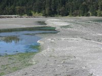
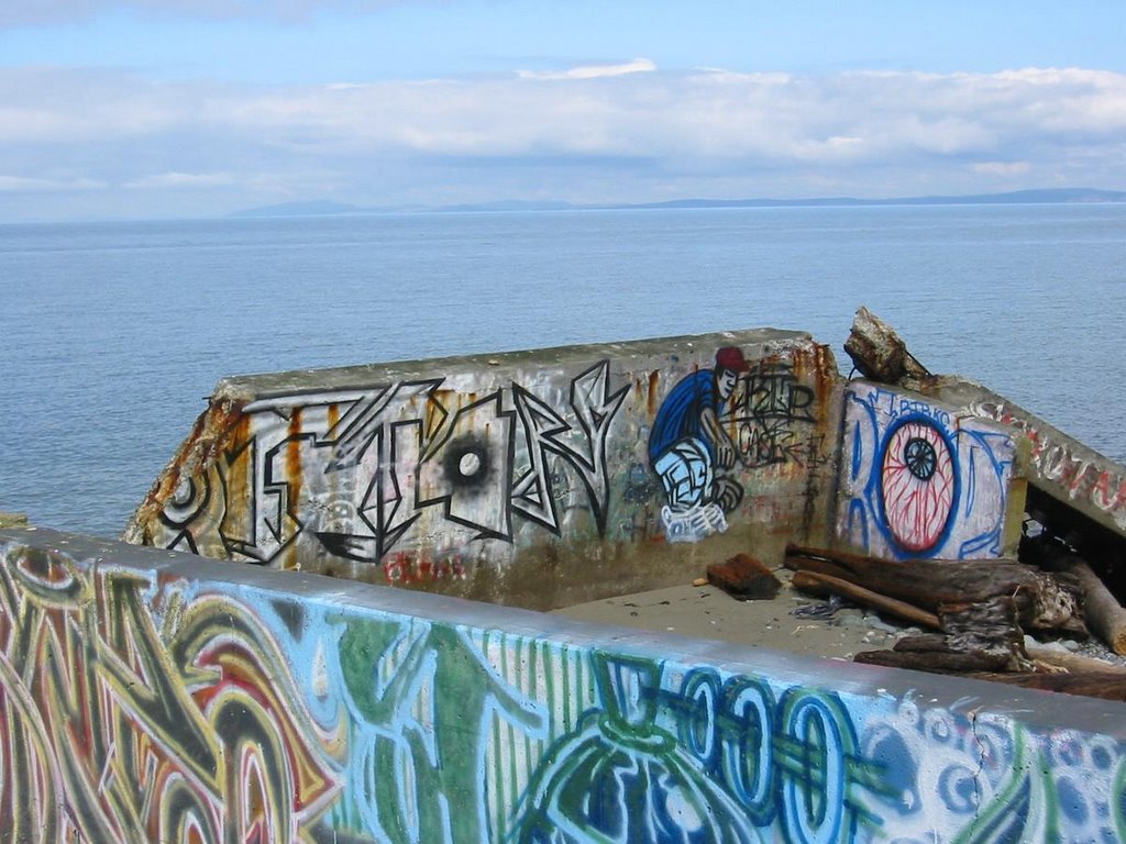
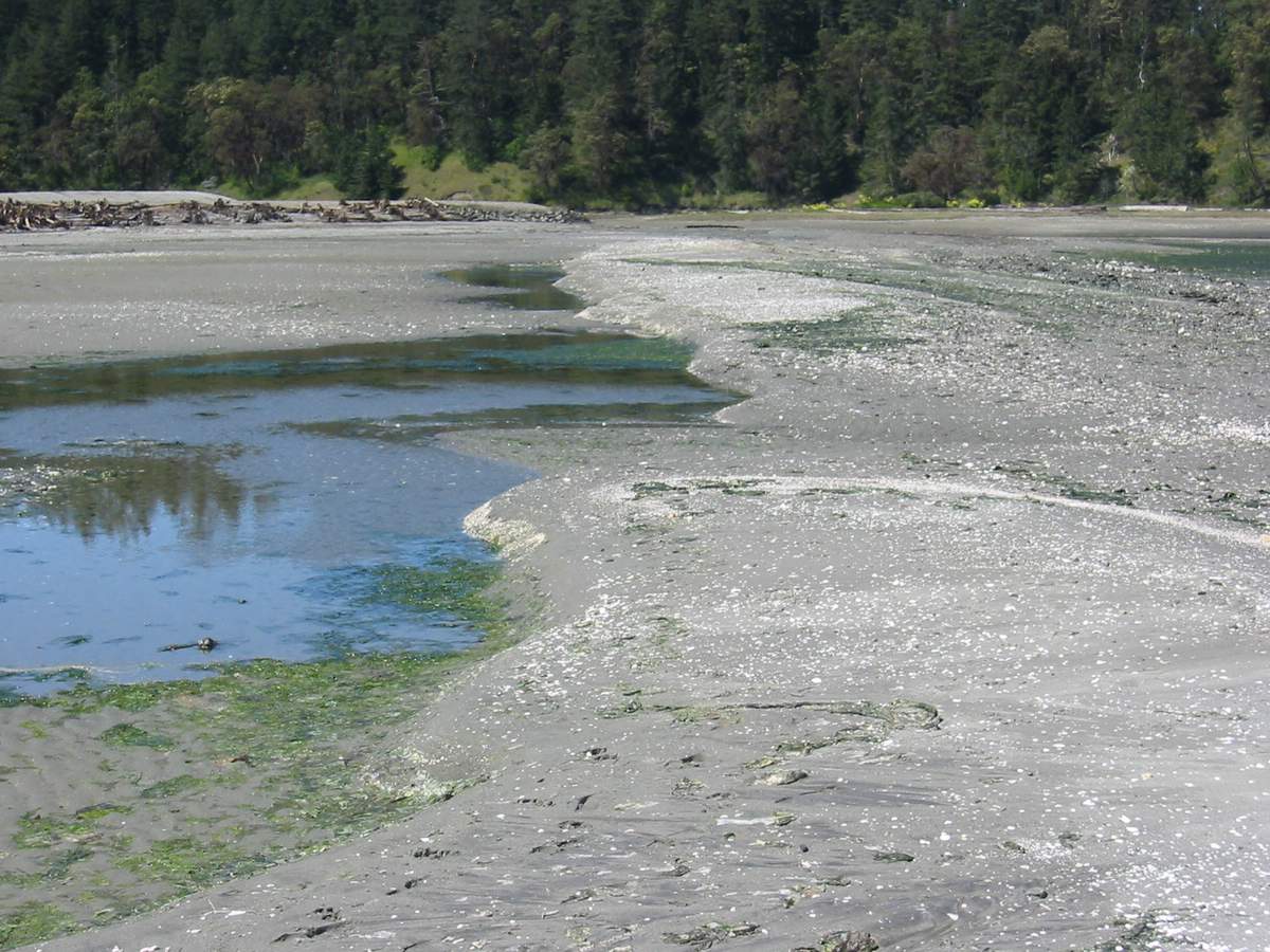
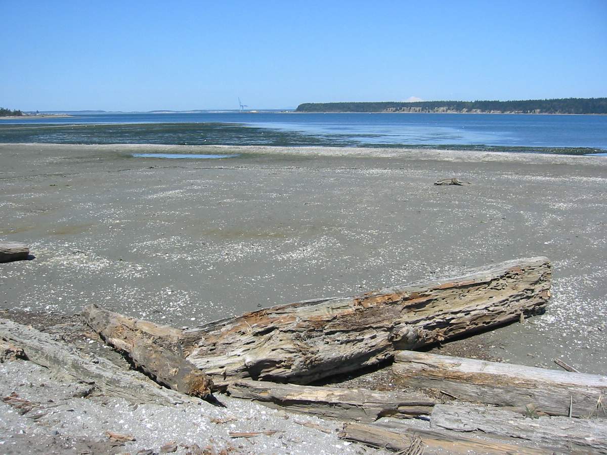
 This shoreline south of the mouth of Chimacum Creek was filled and used for log storage for decades. This winter, WDFW (who acquired the site several years ago) removed much of the old fill, restoring over 10 acres of intertidal shoreline. The work focused on the excavation of fill and the lining of the landward bank with large wood - the new intertidal area is being allowed to restore itself. This is already proving to be a great opportunity to observe how an area like this evolves, both geomorphologically and ecologically.
A sandy berm has already begun to build along the outer edge of the site, pretty much along the edge of the original fill. It is forming as a bar or low spit extending northward toward the creek. If there is sufficient sediment to allow the feature to continue building, I suspect it will create a large lagoon with a fringing salt marsh - though this will take several years. If a spit continues to form, the south end of Indian Island might be a good reference (although far more complicated). Jetty Island in Everett might also be a good analog, although that completely artificial site has an abundance of sediment (nourishment with dredged sand) and the plantings were done as part of the project. Chimacum is on its own, although there might be a way of assuring continued sediment with a small feed source at the south end and there might be some ways to actually foster the development of marshy areas.The amount of large woody debris placed along the inner shoreline of the new project is remarkable. What that bank needs the most is live wood, not dead wood, though hopefully that will come with time. It might be nice to have sprinkled a few large logs out into the prospective marsh area, although I bet this happens by itself within a couple years.
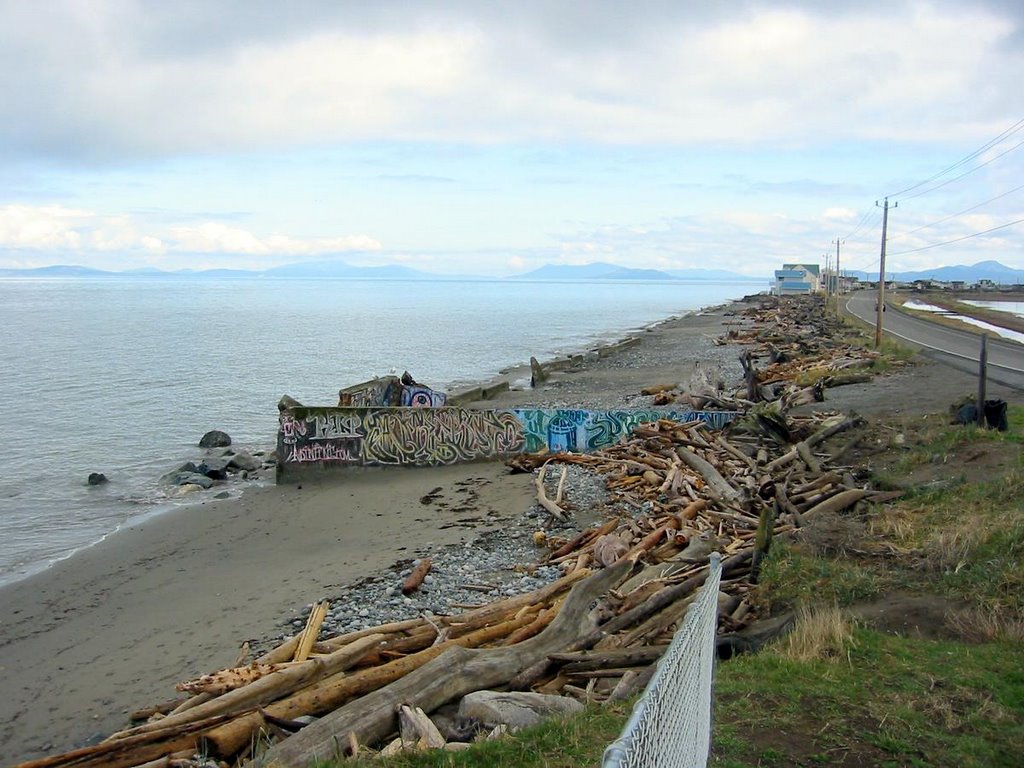
This is one of the larger nearshore restoration projects I can think of, other than dike breaching in the larger deltas. The folks involved in this one deserve lots of credit for making it happen. This and Jimmy-Come-Lately Creek (Sequim Bay) make a great pair of projects for many restoration field trips over the next few years.

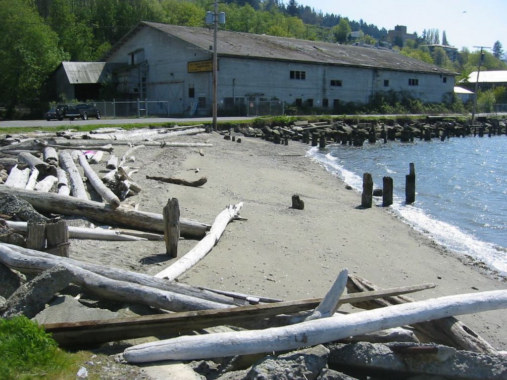
 This site at the south end of Anacortes industrial waterfront reminds me of Dickman Mill in Tacoma before it was cleaned up. You can still see the beach and the shoreline trying to show through, despite the piles and the concrete and the thick layers of wood waste. These sites are fascinating 20th century archaeology, but they are also incredible opportunities. Maybe local priorities will see this redeveloped for marine industry, though cleaner and more habitat-friendly than last round. But it could also be a wonderful park - linked to the adjacent public trail, with historic interpretation, pocket beaches, and maybe even a small coastal wetland. Anacortes has already done a nice job converting other old industrial sites to public parks, while also maintaining a working waterfront.
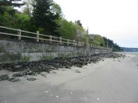
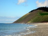
 Langley was originally hung over the edge of the bluff, just like Coupeville and Seattle, but at some point a seawall was constructed and the base of the bluff was filled (a common practice on South Whidbey). The park is a wonderful amenity and provides great access along the shore, but it also eliminates the entire upper portion of the beach (one doesn't walk this beach when the tide is in). It's sandy at the east end, except for the ugly riprap at the base of the wall. The beach is more gravelly to the west. And a little farther west, there is actually a forested, unarmored bluff that reminds us of what it all must have once looked like (well, there were probably some bigger trees).
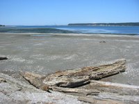
 This was once Flounder Bay, southwest of Anacortes. It is now Skyline Marina and the surrounding community (click on the title of the post to see the aerial). In the 1920s, there was a huge lumber mill built over the beach, remnants of which are still visible. Later there was a seaplane base. And in the late 1960's modern Skyline began to take form. It is one of several "canal" style developments that occurred during that period - others include Lagoon Point on Whidbey, Shelter Cove in La Conner, and Birch Bay Village. All were originally large coastal wetlands.
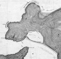
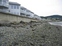
The historic maps show the original inlet to Flounder Bay at it's western, downdrift end, but at some point, the inlet was moved to the eastern end (never let nature get in the way of convenience). The eastern jetties isolate the spit from it's sediment source. In addition, the extensive fill placed on the spit probably buried whatever sand-gravel beach once existed. All that's left in front of the seawall is a starved cobble beach and old riprap. Maybe it's a good thing that the public access is limited! In another place and time, this would still be a natural spit and salt marsh and a park or it would be a developed spit with a destination resort, lots of public access, and a great beach. Either of which would be preferable to what we ended up with.

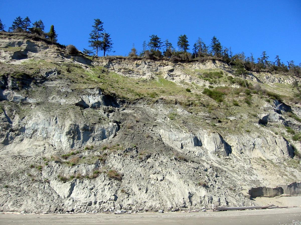
 Two more bluff shots from the field trip on the 4th. Nice contrast in geology, although both are on the west side of Whidbey Island. One is north of Ebey's Landing and consists entirely of recessional gravels. Few Puget Sound bluffs are geotechnically simpler. The other is Double Bluff, a thick pile of interglacial and glacial sand, along with enough other stuff to create a very complex slope.

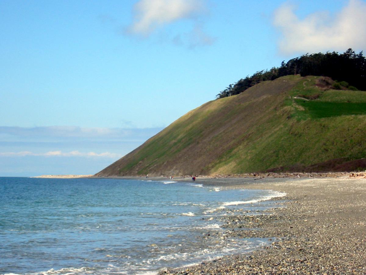
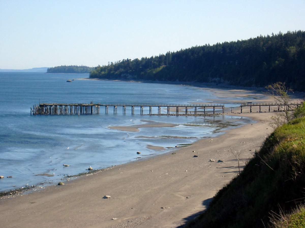
 One of the nicest examples of a large deep-seated landslide on the Sound, this one stretches for almost two miles along the west side of Whidbey Island. As with most of these complex slides, some parts are more active than others. This segment, just north of the public access, was a mess when I first saw it in 1990 but every visit brings something new.
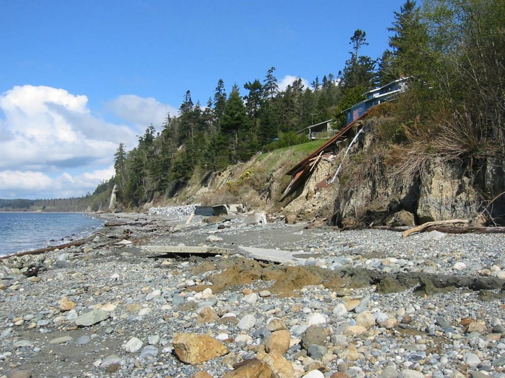
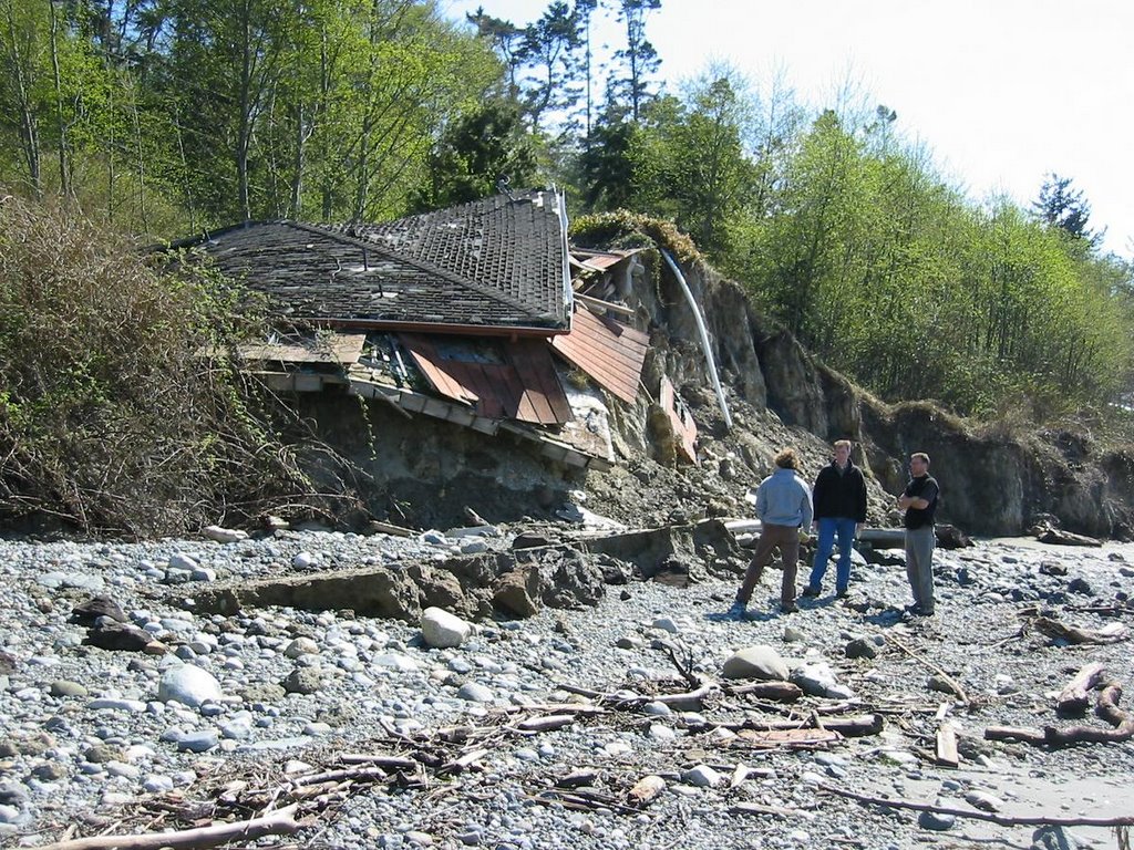
This area has moved significantly again this winter. The road north of the parking area has failed and the pictures show where the toe of the slide has been pushed up through the gravel beach. The house and the early generations of seawalls in the pictures were already destroyed by the mid-1990s, but have continued to ride out the landslide.

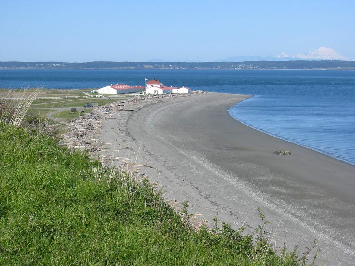
 Swantown, on the northwest side of Whidbey Island. In the 1970's, a timber, later concrete, seawall was built out on the beach, backfilled, and For Sale signs put up on the lots. The 1979 storm (the one that took out the Hood Canal Bridge) destoryed the wall and it's been crumbling ever since.


.jpg)