skip to main |
skip to sidebar
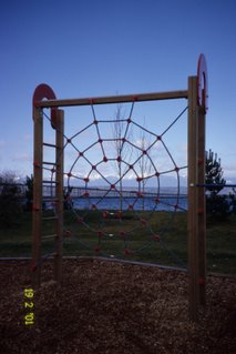
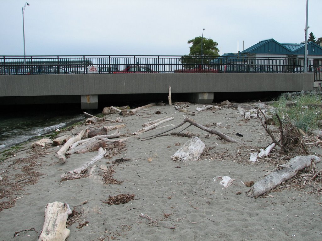
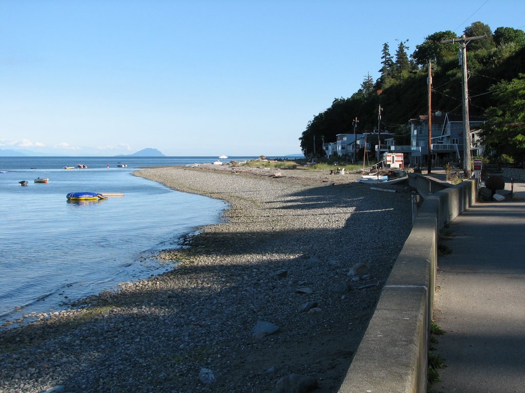
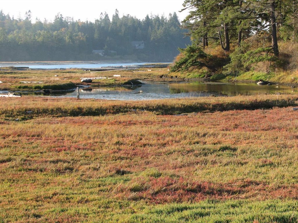
It's time to catch up a bit -- beginning with a blogger's retrospective. The picture was my best effort at something related to the web that was still taken near a beach. Salsbury Point. A great example of small-scale beach nourishment carried out in October 1995, though it could use a little refreshing. Deserves a future post.
I began this blog a little over a year ago - 60 posts and I suppose a couple hundred pictures. I don't even know if Google/Blogger limits my storage, or do they just keep adding servers on my behalf in big warehouses in places like eastern Washington with cheap land and cheaper electricity? Or maybe tomorrow they'll tell me I've exceeded my allotted space!
I have no idea how many people visit the site, though I don't expect many do unless I specifically point them to it. I know no one links to the blog, since it still fails to come up in any search engines (maybe a good thing). I think there is some way to subscribe to it, in case you want to get updated some evening when I start posting stuff after a two month hiatus. I think the site has actually served my needs very well -- I just enjoy pushing my pictures and my musings out there. Hopefully, some folks enjoy it or learn something about their favorite beach or come away with an idea for a thesis, but if someone doesn't like it, they can just click on the "Next Blog" in the top right and go visit someone else.

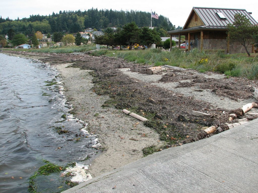
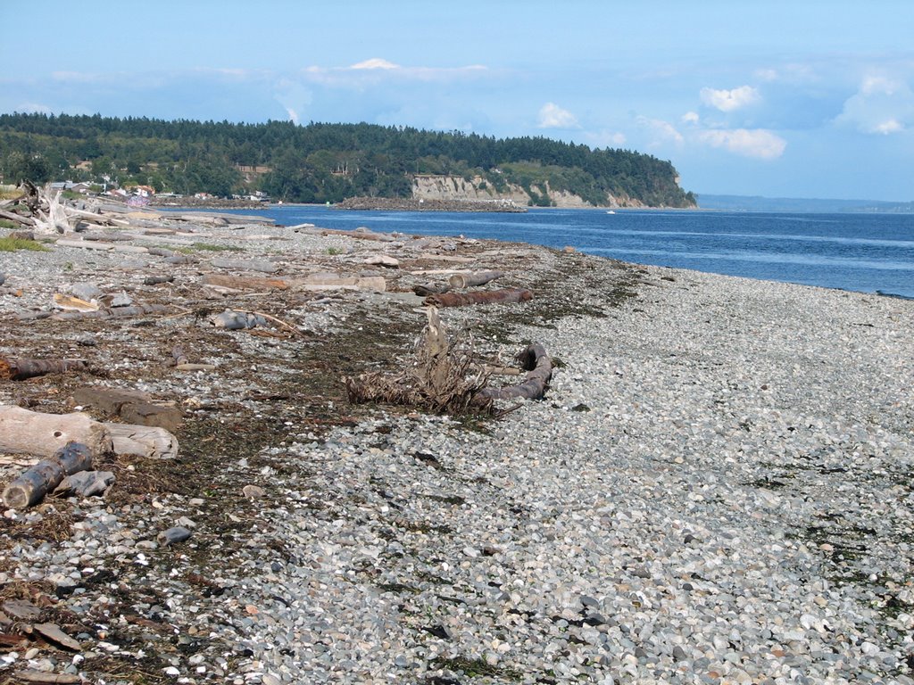
 Freeland. I've been swinging by this beach now and then to watch how it responds to the new stormwater outfall in the middle of the park (not terribly well, as the flows seem sufficient to carve a significant channel across the beach and transfer much of the sand offshore, which also results in erosion of bank adjacent to the outlet). This time, however, the beach was doing okay - other than it was blanketed with 6" of dead eelgrass. This is a typical autumn phenomenon, albeit one that varies significantly from year to year and that is probably more characteristic of some beaches than others.
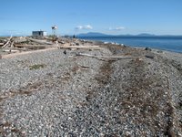
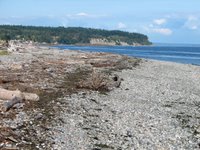
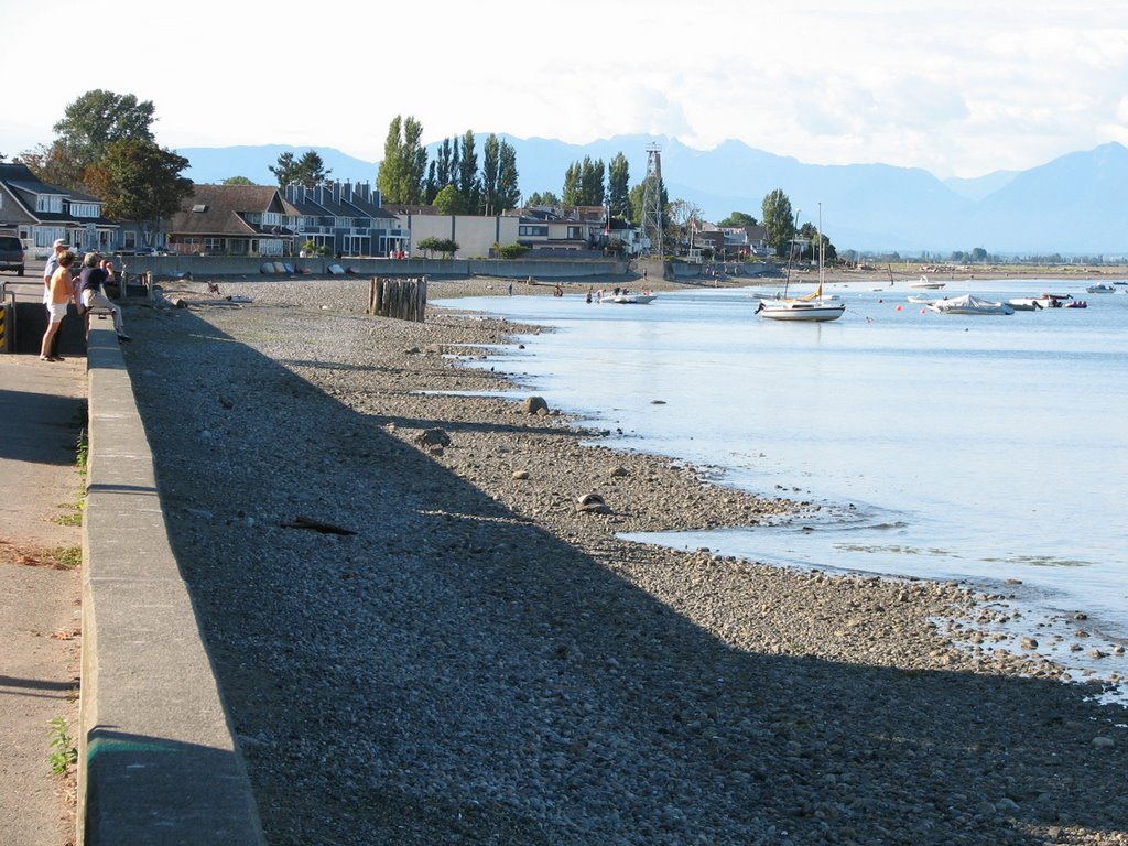
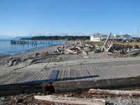 Lighthouse Park is at the southwest tip of Point Roberts, that little orphaned piece of the USA that hangs down below Vancouver. The high ground of Point Roberts and neighboring Tsawwassen was once an island, until subsumed by the growing Fraser Delta.
The west side of Point Roberts is one of the few places in the Salish Sea where humans may have managed to alter the direction of net longshore drift (there may be another smaller example northeast of the Hood Canal bridge). We can block it or reduce it, but it took the Canadians to actually reverse it. Prior to the causeways to the Tsawwassen Ferry Terminal and the Roberts Bank Delta Port, net shore drift was probably to the south, driven by the extended fetch from the north, but the causeways may provide some shelter, increasing the relative importance of southerly winds and waves. This is all pretty speculative, but makes an interesting story.
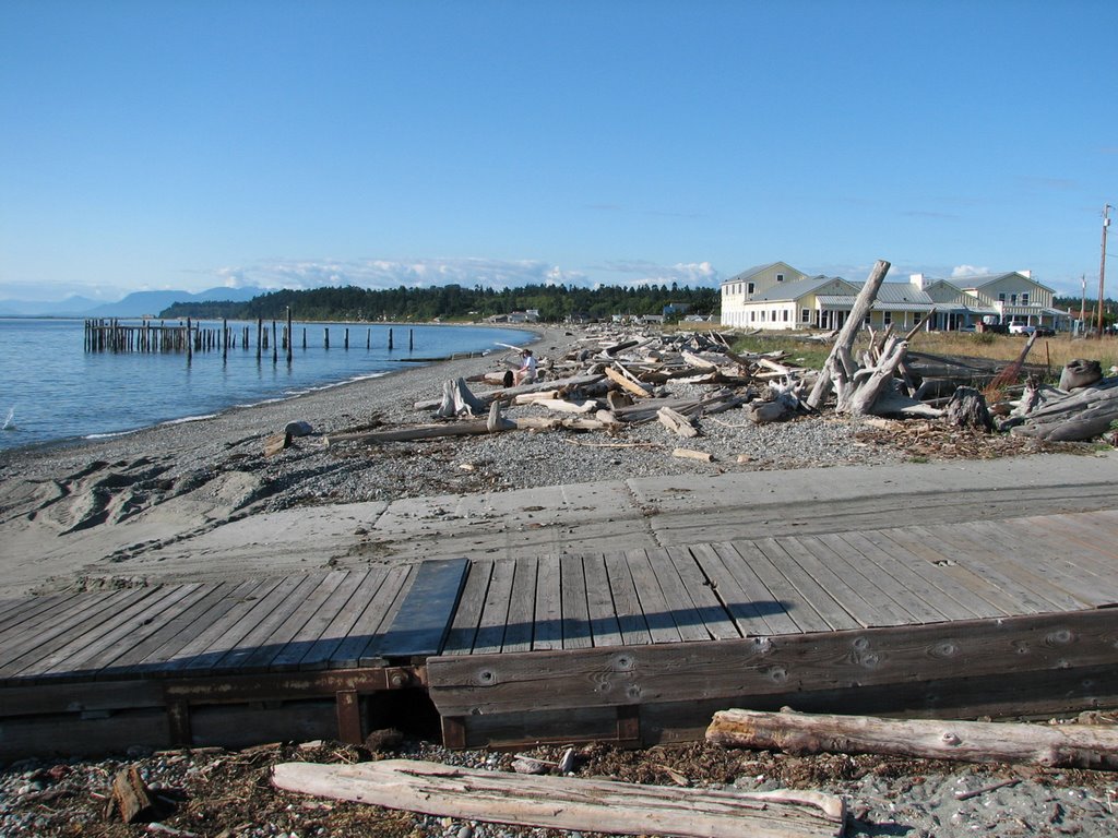
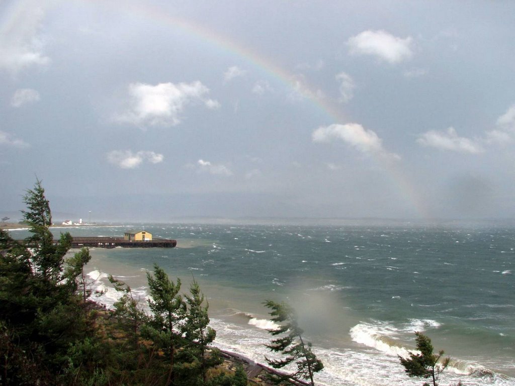
Lighthouse Park has a difficult erosion history, probably complicated by changes to wave and sediment patterns and the unfortunate location of the old lighthouse building. Seems like everything would be easier if the structure could be removed (the navigation beacon could remain) and the beach allowed to do its own thing (but then I always say that).
This visit was pleasant, but didn't match my first visit, when a kid's concert was going on at one of the shelters and a pod of Orcas headed past just offshore.




.jpg)