skip to main |
skip to sidebar
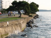
 The beaches on English Bay benefit from their orientation (using groins) and added sand. They are just one element of Vancouver's magnificent, public shoreline, and are located between Stanley Park and the dense urban neighborhood sprouting along False Bay. The 13 mile seawall path allows bikers to go from downtown around Stanley Park and False Bay all the way to Kitsilano.
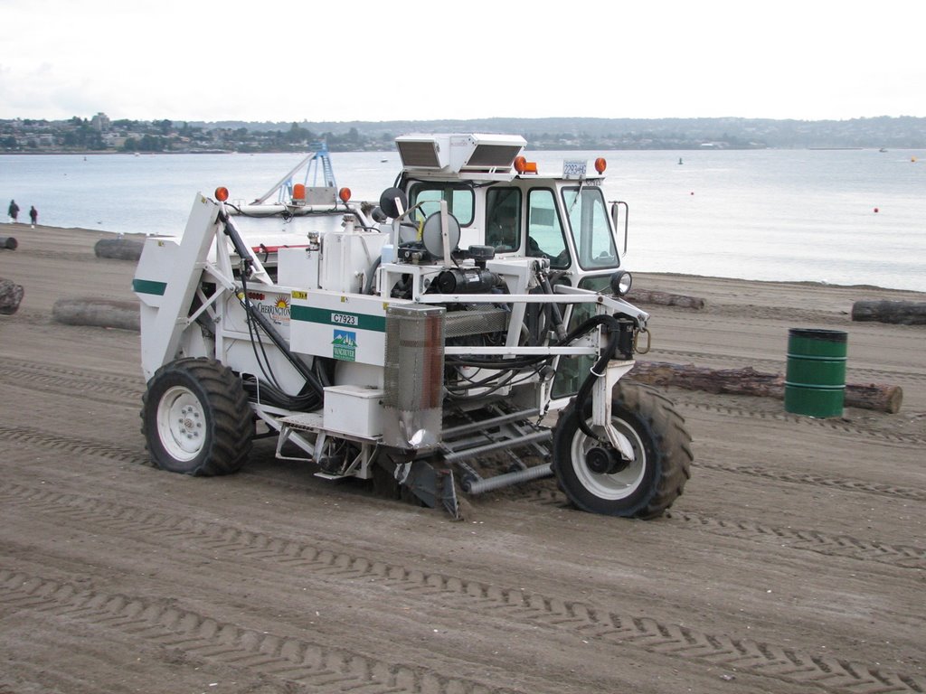
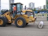
Four evenings every summer, the beach hosts a few hundred thousand people for fireworks. Each following morning, Vancouver Parks cleans up the mess and makes the beaches look like new again, with the help of big beach toys.
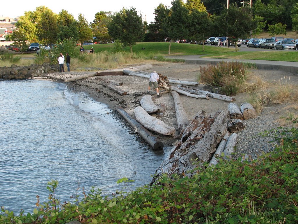
 In the early 1900s, Luna Park was an amusement park on a pier - must have been a neat place on summer evenings. A couple years ago, the city fixed up the little park, removing the decaying seawall and allowing the sea to flow underneath.
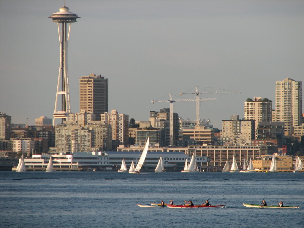
Harbor Avenue was once on piles over the beach, below the high bluffs of Duwamish Head. Eventually, they filled it all in, burying the original beach under the road and beach houses. Now the beach houses are five story condos, the better to stop landslides from knocking roller bladers into the Sound.
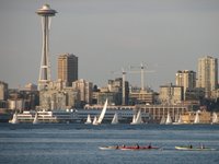

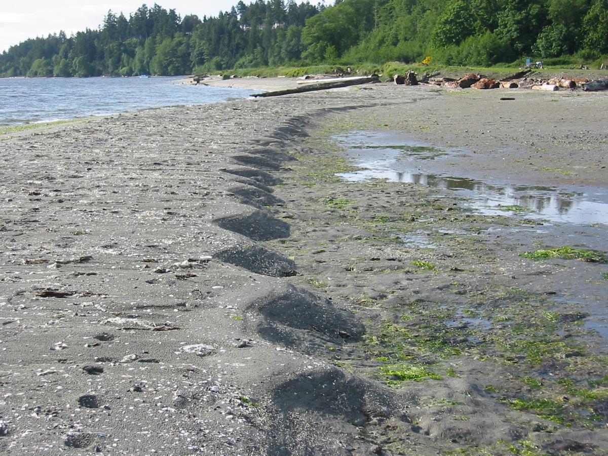
Three pocket beaches tucked into the western shore of Elliott Bay, separated by riprapped headlands of 19th century fill. The pockets probably correspond to location of wharves, where fill wasn't dumped. The coarse, well-sorted gravel leads to steep beach faces. The beaches were constructed in the late 1980s.
 In January, 1997, a family of four was killed by a landslide at this site on Bainbridge Island (see Brenda Bell's article, The Liquid Earth, in the January, 1999, Atlantic Monthly). Other nearby houses were lost to separate slides during the previous winter and in March 1997, although without the fatalities. Today, a double-tiered retaining wall is being built on the slope so the waterfront lots can be redeveloped.
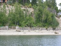
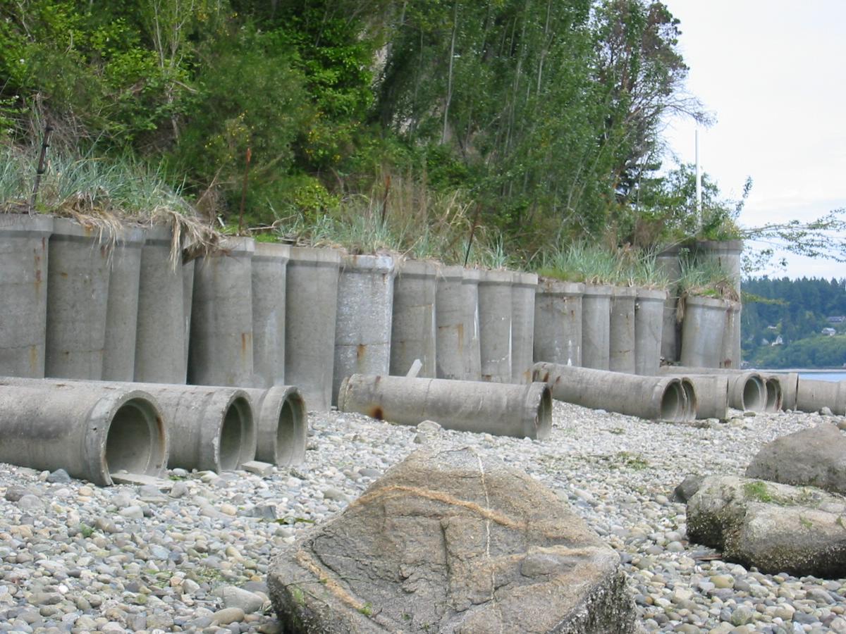
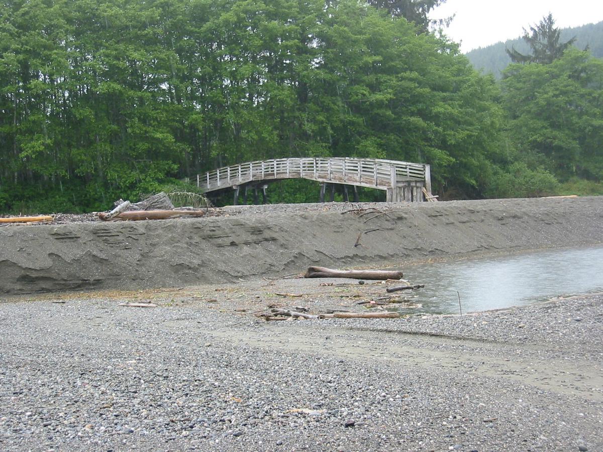
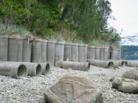 Some seawalls are special. I'm sure there is a great story to go with this one, but it's not one I've learned yet. The concrete pipe segments that remain upright are acting as planters for dune grass.

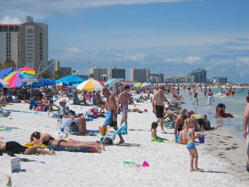
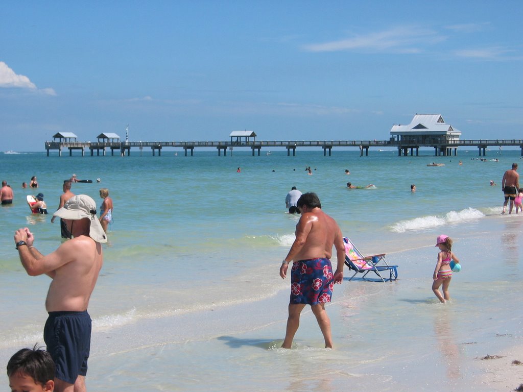
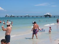 Clearwater looked to me just like a Florida Beach should look like, with sunshine, crowds, colorful umbrellas, and lots of the large multi-story hurricane deflectors built in the dunes.
 It's been thirty years since I've been in Florida, and now two trips in less than six weeks! Our time at the beach has been limited by our family's general abhorrence of hot, muggy weather, but we've managed some short excursions (for the rest of the story, go to hshipman blog).
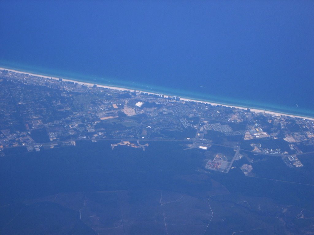
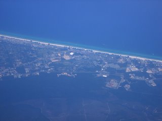
The flight from DFW to Tampa bypassed a large storm over New Orleans, so I didn't get good views of the coast until we got to Mobile - I was hoping for a good overview of post-Katrina Pass Christian and Biloxi. We flew a few miles north of the coastline from Mobile to Appalachicola area before cutting across the Gulf toward Tampa Bay. The photo may be Destin, though these resort beaches tend to all look the same from 35,000' (or maybe even from sea level?).
The hurricane deflectors (very small in this picture) remind me of lightning rods on the ridges of Pennsylvania barns or the wire spikes that keep seagulls off of waterfront restaurants and pigeons off of public monuments. They have been constructed up and down the southeast coast. Since hurricanes aren't very frequent, authorities let people live in them when they aren't actually being used to protect the nation from tropical storms.