
Diamond Point is a cuspate foreland at the northwestern entrance to Discovery Bay. For many decades - more than a hundred years ago - there was a federal quarantine station and hospital on this site. It was eventually closed and the land sold. In the late 1950s, a residential development was built around the spit and a small private airstrip and little now remains of the historic buildings except for the old wharf.
History Link
Sunshine Acres History
 Like most of these features, while the overall shape is fairly symmetric, the details are not. The north limb is more drift-aligned, the south limb is more swash aligned. The north limb suggests long-term erosion, the south limb appears much more stable. This is probably one reason that north side is heavily fortified, while the south side is not.
Google Maps: AERIAL VIEW
 The north side is influenced (occasionally) by longer period swell and has a larger fetch for storm waves. The south side probably experiences more frequent storm waves, but the energy is limited by the fetch up the bay. Sediment transport is east along the northern shore, towards the point. Sediment transport is a bit less clear on the south side. Keuler's USGS map suggests that drift continues around the point from the north and continues southward along the northwestern shore of the bay. An alternative explanation would be that Diamond Point represents the convergence of drift from both north and south. This requires that southerly waves action dominates along the bluffs south of Diamond Point and that the erosion of those bluffs feeds the Point's southern beach. I'm inclined to believe the latter, but would need more to go by than what I have at hand. There was at least some evidence that waves may wrap around the point from the north carrying sediment with them (accretion near the tip on the southern side), but I'm not sure it gets much farther.
Residents on the south side are concerned about erosion and overtopping during the past few years and we talked about a number of possible explanations.
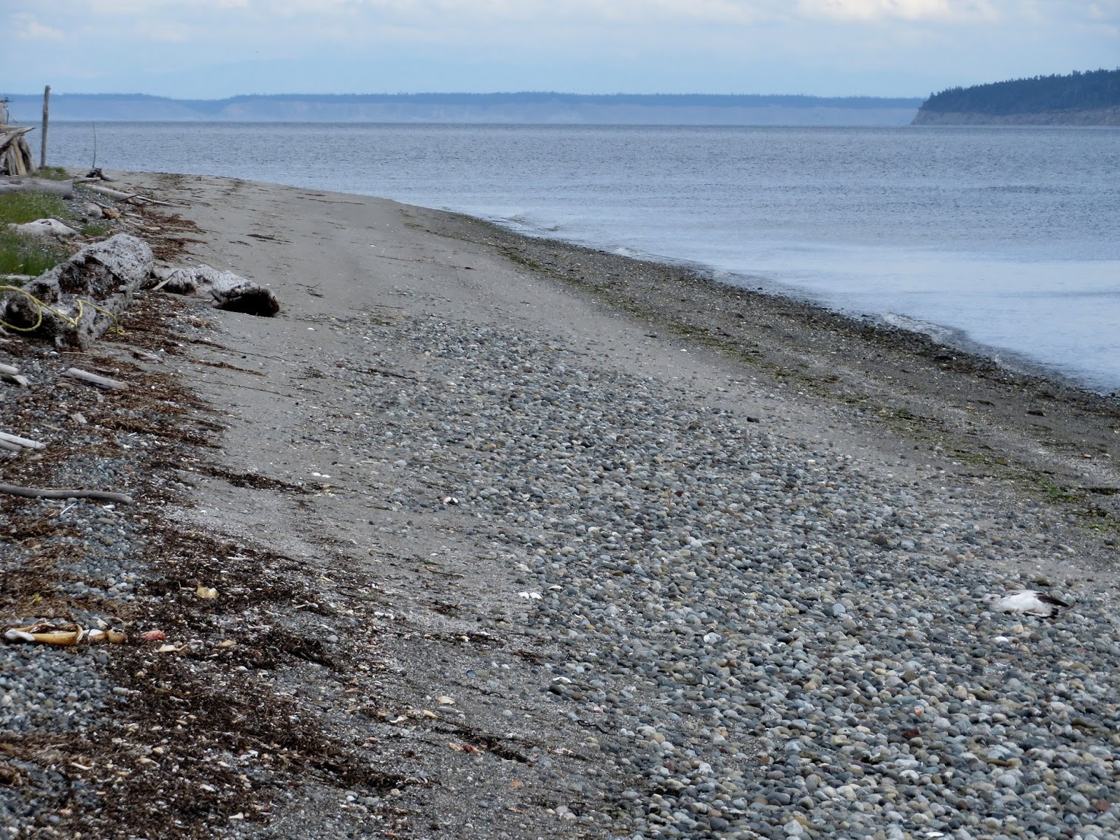
1. Chronic erosion of the south beach. I saw little to suggest this was the case, in the field, in older aerial photos, or in the community's historic photos. Old boat ramps did not indicate much long term beach change (ramps can be good references for noting beach profile changes). And for some of the reasons above, I would expect this beach to be relatively stable - perhaps even accretional (although there wasn't much evidence of that, either).
2. Human history. Erosion problems often have a human element. Boat ramps and groins can alter sediment transport and cause localized erosion (and/or accretion). When they've been present for many decades, then decay, the beach gradually reverts to a more natural configuration, although by then the actual culprit has vanished, leaving everyone scratching their heads at the "unexplained" erosion. In this case, there are boat ramps nearby, but there was no obvious indication that they were affecting the larger reach.
A more likely issue, at least in my mind, was the old wharf. When active, it may have sheltered the beach from wave action and allowed accretion to occur. But then as it fell apart, the beach would have eroded as it tried to reclaim its former position. If this has happened, there was certainly no obvious evidence of it.
The logs are an interesting story. The historic photos, and the memories of old timers, indicate huge numbers of logs on this beach (and many other beaches) many decades ago, but with numbers gradually diminishing since. This is consistent with a general notion that there were huge numbers of logs in the system mid-20th century, but that they have been gradually lost since then - for many reasons. To the extent that broad rafts of logs protect the beach, their loss could lead to erosion.
3. Short-term erosion related to storm events. This is common on beaches like this, particularly after extreme events like last December's record high tide. Logs get floated away, exposing the underlying gravel to localized erosion and redeposition, but this doesn't necessarily reflect a more serious pattern. The bigger problem is usually the overtopping itself, but that's more a flood issue than an erosion one (and suggests different solutions).
This is a barrier beach (or what Wolf Bauer called an accretion beach). These are flood zones. The berm was built by storm waves and there is no reason to think that the storm waves won't reach it again. Like in most flood zones, flood events are infrequent and vary in frequency. Severe events will often appear to be a sign of things getting worse, simply because few people will recall the last time it happened. This is also a tsunami hazard zone, fortunately those are particularly infrequent.
 .
.
No comments:
Post a Comment