
Seattle desperately needs to reconnect with its waterfront- we can do better than souvenir shops and uninteresting industrial buildings. But how to deal with railroads and highways? The new park offers one approach - a partial lid zigzagging from the top of the bluff down to the shore, but it won't work farther south - with or without a viaduct.
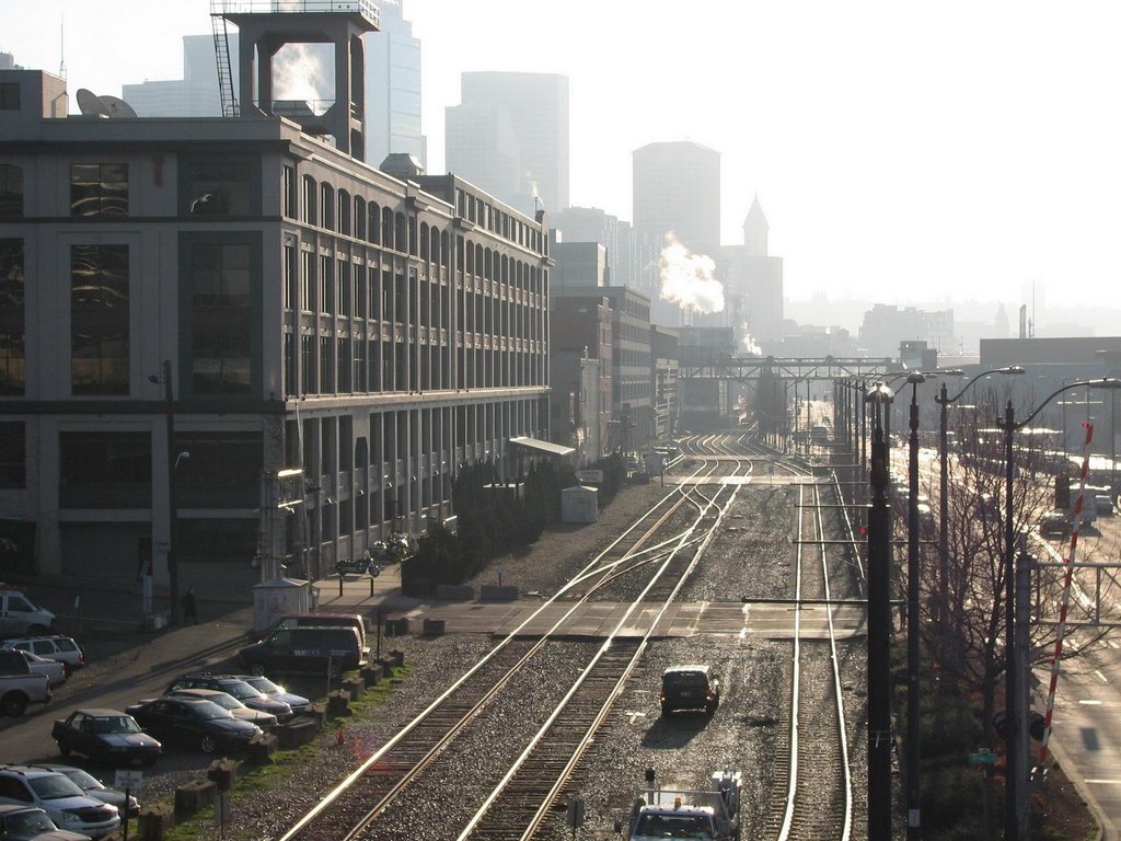
The railroad was originally built as a trestle over the lower beach and was later backfilled and expanded to provide room for Alaska Way. The topography still provides a pretty good sense of where the original bluff and beach were located - in some places a very long way back from the current shoreline. All the land in these pictures is fill.

No comments:
Post a Comment