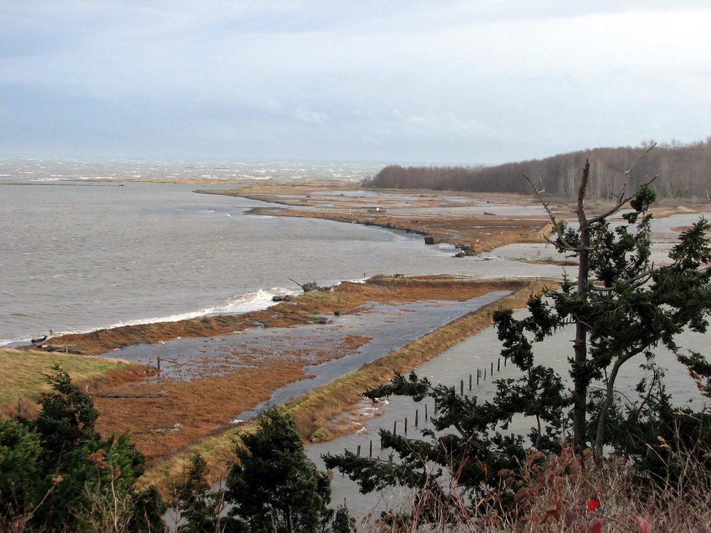
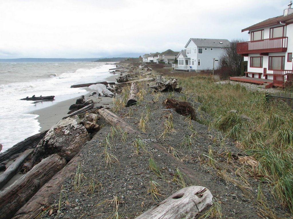
Over the past several thousand years, the Dungeness River has emptied into the sea in different places across the broad Grays Marsh and Jamestown landscape. Today's river mouth is deflected eastward in the lee of Dungeness Spit (remember, click on the title of the post for an aerial view). The beaches to the east of the modern river mouth, along the old delta front, comprise one of the longer stretches of low bank shoreline in the region. Far too many homes built along a shoreline that doesn't want to stay put. Last year's big storm borrowed some of these folks' beach. But instead of responding with 1000' of riprap, they constructed an artificial gravel dune, which alleviates some of the erosional pressure and should reduce flooding. In a couple years it should look pretty natural, although it's basically just a naturalized dike.

No comments:
Post a Comment