 |
| West Point 2004 |
 |
| Golden Gardens 2011 |
 |
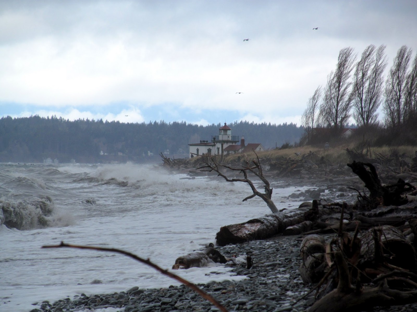
| Seacrest 2011 |
 |
| Brackett's Landing 2009 |
 |
| Ambleside 2011 |
 |
| Tolmie 2009 |
 |
| West Point 2010 |
 |
| Birch Bay 2010 |
24 February 2012
Wolf,
As you begin your second century, I wanted to remind you of what an amazing difference you have made for Puget Sound shorelines and
for the people who visit them.
You were instrumental in raising awareness of shorelines and in creating a demand for shoreline protection. Today, it’s easy to take our beautiful beaches for granted, but without the amazing efforts of you and others in the early 1970s, this place would be a very unattractive place. Your language and your ideas have remained lasting elements of Shoreline Master Programs across the state.
You described accretion beaches as an endangered species. At the time, you may have doubted our progress, and it’s true that we have lost some special places. But thanks to your work, many remain intact and more are becoming public. Lily Point on Point Roberts is now a county park.
In the 1980s you spoke adamantly of the need to restore our urban beaches and to enhance the public’s shoreline experience. But you did not just talk about it, you gave us examples. Today, we have examples everywhere: in Seattle, Tacoma, Bremerton, and elsewhere. And there are a new generation of projects such as the Sculpture Park Beach in Seattle and Marine Park in Fairhaven that were inspired by your example and carried out by impassioned individuals who had learned from you.
People enjoy our most spectacular urban beaches, yet many do not realize that these places were once buried in riprap and would be still were it not for your efforts. People love the beaches at Discovery Park, Golden Gardens, Birch Bay, West Vancouver, and Tolmie State Park. They think these places have always been this nice!
This year, we are mapping feeder bluffs throughout the Sound – the feeder bluffs that you taught us were such a critical element of the shore-process corridor. Also this year, I was approached about what to do about salt marshes choked with cut logs from decades of sloppy log-rafting practices. I jumped at the chance to share your presentation on this subject from almost two decades ago.
Increasingly, parks managers and and government regulators and fish biologists are looking for opportunities to restore beaches and to put sediment back into the system, not lock it away behind walls of rock. People still build bulkheads, but doing so is widely discouraged and is increasingly difficult. In some places we are actually pulling seawalls off the beach and removing riprap from our spits.
Your legacy runs deep on Puget Sound and our shorelines are far, far better places today than they ever would have been without your incredible passion and your tireless commitment.
Thank you,
Hugh
NOTE: Wolf turned 100 on February 24th. These photos, most taken recently, are all nourished beaches designed by Wolf in the 1970s and 1980s. Their captions link (in most cases) to previous posts on those places. Previous Gravel Beach posts mentioning Wolf can be found at: Bauer Posts.


