
The much anticipated wind storm arrived early in the morning. The Cathlamet broke down, leaving only one boat on the Mukilteo-Clinton run. I thought about driving around the north end of the island, but toook my chances with the ferry - which I just made.
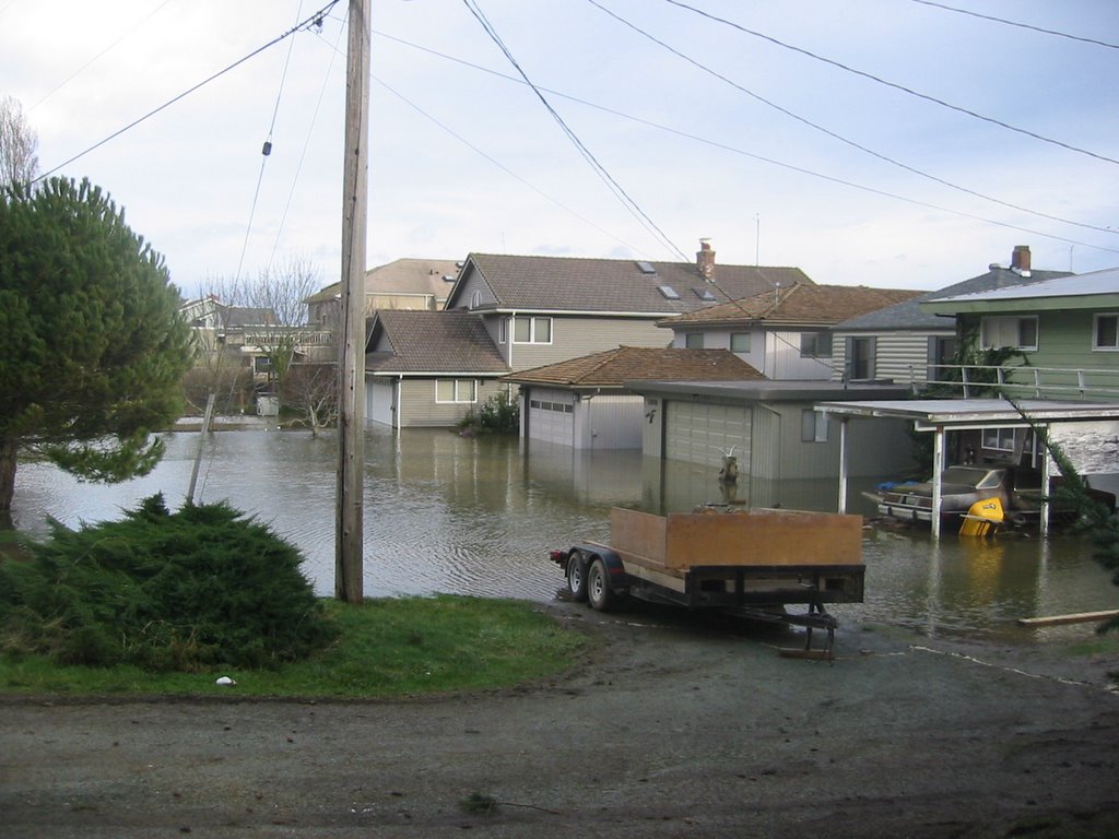
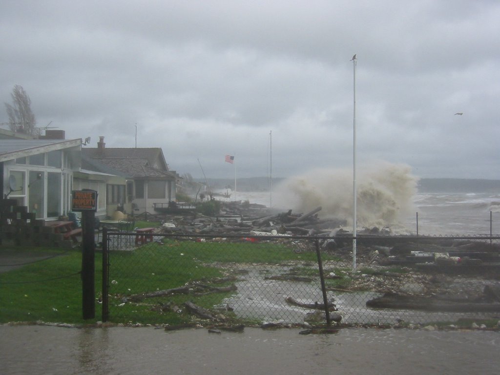
7:50AM. Waves were breaking along the seawall on Columbia Beach. 8:15. At Possession County Park, the waves washed over the berm and then drained into the wetland on the backside, eroding a channel next to the pedestrian bridge. 8:30 The eastern end of the Cultus Bay sand spit was underwater. 8:40 Water was coming over the berm on the Maxwelton spit and was about to reach the road. 8:55 Double Bluff (see next post). 9:00 High tide. A long line of SUV's streamed from the homes along the Useless Bay sand spit. Water was still standing over the road and in garages many hours later. 9:15. Water gushed from a storm drain at Robinson Road, making what was once a back-barrier marsh start to look like one again. 10:00. Power went out at the Coupeville Middle/High School - as folks got ready for the first round of classes at the Beach Watchers' annual Sound Waters workshop. So much for slide shows.
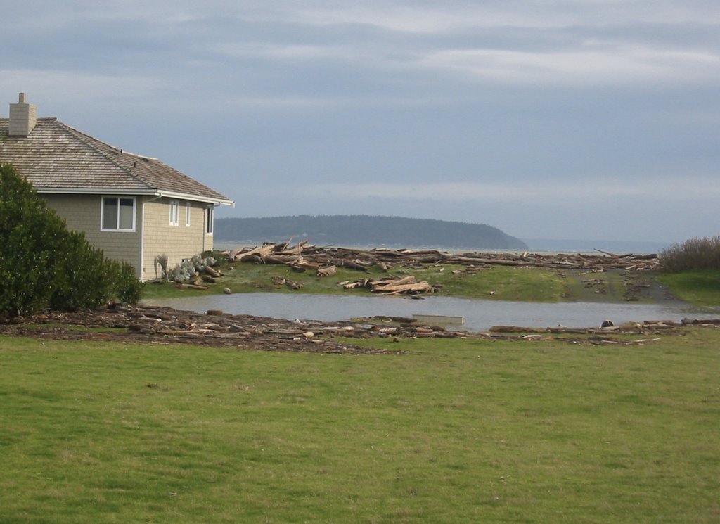
On the way back: Logs and wood debris were piled into a neat 3' high storm ridge all along Keystone Spit. A tree had fallen on the house next to the beach access at Ledgewood. Water was still flooding the road in Freeland next to Nichols Brothers. And they'd closed off the pedestrian walkway on the southside of the Clinton ferry dock - since the waves had popped out many of the translucent deck tiles.

No comments:
Post a Comment